Sherburne Ranger Station Historic District, Glacier National Park
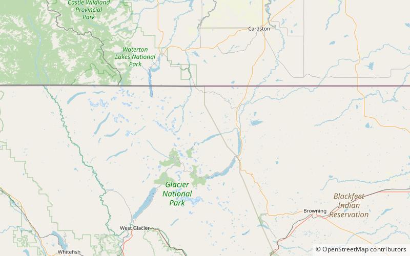
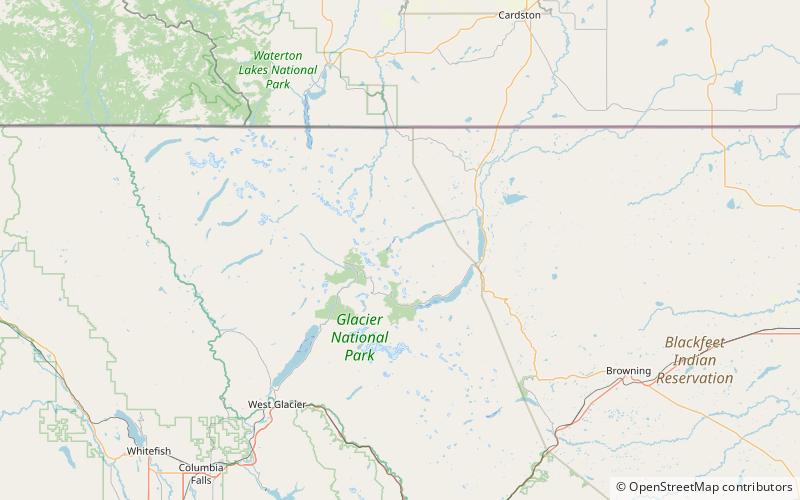
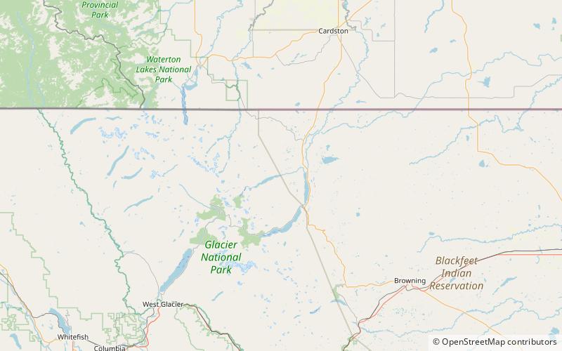
Map
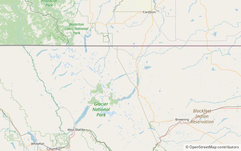
Map

Facts and practical information
The Sherburne Ranger Station in Glacier National Park is an example of the National Park Service Rustic style. Located in the Swiftcurrent portion of the park, it was built in 1926. It is part of a small historic district that includes a mess hall and subsidiary structures, formerly known as the Sherburne Road Camp, established in 1931. The ranger station closely resembles the ranger stations at Belly River and Lake McDonald. A checking station at the road remains substantially intact. ()
Coordinates: 48°49'19"N, 113°34'45"W
Address
Glacier National Park
ContactAdd
Social media
Add
Day trips
Sherburne Ranger Station Historic District – popular in the area (distance from the attraction)
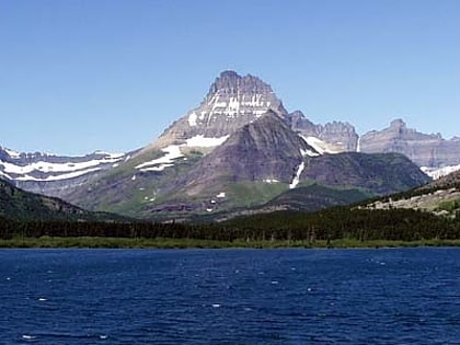
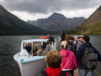
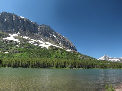
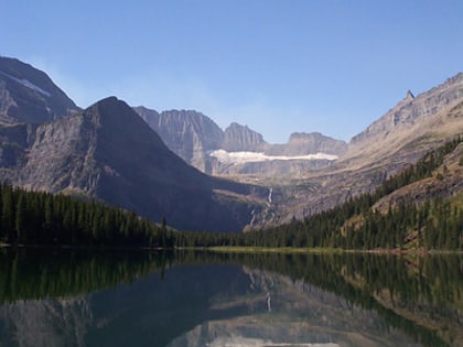
Nearby attractions include: Swiftcurrent Lake, Morning Eagle, Fishercap Lake, Lake Josephine.

