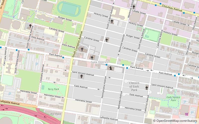
Gate District, St. Louis
Map
Facts and practical information
The Gate District is a neighborhood of St. Louis, Missouri. The Gate District is defined as the area between Chouteau Avenue and Interstate 44 on the north and south and between South Jefferson Avenue and South Grand Boulevard on the east and west. This area is just south of the central corridor and west of Lafayette Square. The term Gate was added to define this neighborhood due to the number of ironclad gates lining the streets. Today, the neighborhood is the subject of increased gentrification. ()
Coordinates: 38°37'10"N, 90°13'46"W
Address
Gate DistrictSt. Louis
ContactAdd
Social media
Add
Getting there by public transportation
Public transportation stops near this location
- Light rail
 Light rail
- Calculate routeGrand 20 min walk
- Calculate routeCortex 40 min walk
Day trips


Frequently Asked Questions (FAQ)
Which popular attractions are close to Gate District?
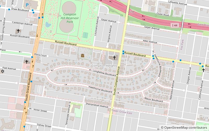
Nearby attractions include Saint Louis University College for Public Health and Social Justice, St. Louis (13 min walk), Firmin Desloge Hospital, St. Louis (14 min walk), Desloge Chapel, St. Louis (14 min walk), Compton Hill Reservoir Park, St. Louis (15 min walk).
How to get to Gate District by public transport?
The nearest stations to Gate District:
Light rail
Light rail
- Grand • Lines: Blue, Red (20 min walk)
- Cortex • Lines: Blue, Red (40 min walk)