Arlington Heights School District 25, Arlington Heights
Map
Facts and practical information
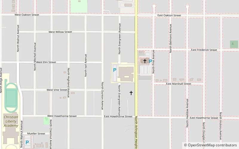
Arlington Heights School District 25 is a school district that serves and is based in Arlington Heights, Illinois, a suburb of Chicago. The school district serves over 5,550 students in nine schools. ()
Coordinates: 42°5'33"N, 87°58'54"W
Getting there by public transportation
Public transportation stops near this location
- Bus
- Train
 Bus
Bus
- Calculate routeNorthwest Hwy & Vail 14 min walk
- Calculate routeArlington Heights 15 min walk
Day trips


Frequently Asked Questions (FAQ)
Which popular attractions are close to Arlington Heights School District 25?
Nearby attractions include Müller House, Arlington Heights (10 min walk), The Cellar, Arlington Heights (16 min walk).
How to get to Arlington Heights School District 25 by public transport?
The nearest stations to Arlington Heights School District 25:
Bus
Train
Bus
- Northwest Hwy & Vail • Lines: 696 (14 min walk)
Train
- Arlington Heights (15 min walk)