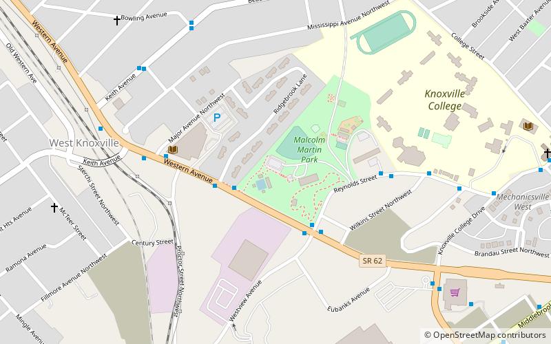
Downtown Knoxville, Knoxville
Map

Map

Facts and practical information
Downtown Knoxville is the downtown area of Knoxville, Tennessee, United States. It contains the city's central business district and primary city and county municipal offices. It is also home to several retail establishments, residential buildings, and the city's convention center, and World's Fair Park. The downtown area contains the oldest parts of Knoxville, and is home to the city's oldest buildings. ()
Coordinates: 35°58'10"N, 83°56'58"W
Address
MechanicsvilleKnoxville
ContactAdd
Social media
Add
Day trips
Downtown Knoxville – popular in the area (distance from the attraction)
Nearby attractions include: Knoxville National Cemetery, Fort Sanders, Hodges Library, Lonsdale.
Frequently Asked Questions (FAQ)
How to get to Downtown Knoxville by public transport?
The nearest stations to Downtown Knoxville:
Bus
Bus
- Western Ave WB @ Ridgebrook Ln • Lines: 12, 13 (2 min walk)
- Reynolds St WB @ Western Ave • Lines: 12 (3 min walk)


