Alameda Point, Alameda

Map
Facts and practical information
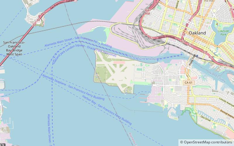
Alameda Point is the name given to the lands of the former Naval Air Station Alameda in the City of Alameda, California. Alameda Point consists of 1,560 acres of land area at the western end of the island of Alameda. Most of the land was reclaimed from the San Francisco Bay. ()
Coordinates: 37°47'9"N, 122°19'6"W
Address
Alameda (West End)Alameda
ContactAdd
Social media
Add
Day trips
Alameda Point – popular in the area (distance from the attraction)
Nearby attractions include: USS Hornet Museum, St. George Spirits, Faction Brewing, Oakland Long Wharf.
Frequently Asked Questions (FAQ)
Which popular attractions are close to Alameda Point?
Nearby attractions include Faction Brewing, Alameda (14 min walk), St. George Spirits, Alameda (14 min walk).
How to get to Alameda Point by public transport?
The nearest stations to Alameda Point:
Bus
Ferry
Bus
- West Midway Avenue & Monarch Street • Lines: 96 (15 min walk)
- West Tower Avenue & Lexington Street • Lines: 96 (22 min walk)
Ferry
- Seaplane Lagoon Ferry Terminal • Lines: San Francisco Bay Ferry (31 min walk)


