Rodgers Forge, Baltimore
Map
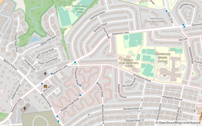
Map

Facts and practical information
Rodgers Forge is a national historic district southwest of the unincorporated Towson area and county seat of Baltimore County, Maryland, United States, just north of the Baltimore City/County line. It is mostly a residential area, with rowhouses, apartments, single-family dwellings, and a new complex of luxury townhomes. The area also has a small amount of commercial development. It is just south of Towson University. 21212 is the postal code for Rodgers Forge. ()
Coordinates: 39°22'52"N, 76°37'2"W
Address
Towson (Rodgers Forge)Baltimore
ContactAdd
Social media
Add
Day trips
Rodgers Forge – popular in the area (distance from the attraction)
Nearby attractions include: Boys' Latin School of Maryland, Doc, Senator Theatre, Aigburth Vale.
Frequently Asked Questions (FAQ)
Which popular attractions are close to Rodgers Forge?
Nearby attractions include Bellona–Gittings Historic District, Baltimore (5 min walk), Auburn House, Towson (10 min walk), Stoneleigh Historic District, Baltimore (18 min walk), Villa Anneslie, Baltimore (18 min walk).
How to get to Rodgers Forge by public transport?
The nearest stations to Rodgers Forge:
Bus
Bus
- Rodgers Forge Road & Dumbarton Road Far-side Westbound • Lines: 51 (5 min walk)
- Stevenson Lane & Bellona Avenue Far-side Eastbound • Lines: 51 (8 min walk)

