Queens Jewish Center, New York City
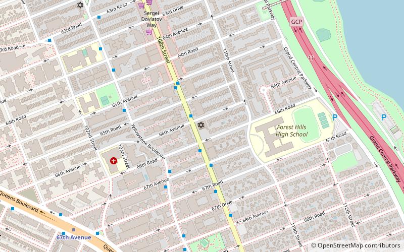
Map
Facts and practical information
The Queens Jewish Center, also known as Queens Jewish Center and Talmud Torah or QJC, is an Orthodox synagogue in Forest Hills, Queens, New York known for its significant contributions to the Jewish community. The synagogue was established by a dozen families in 1943 to serve the growing central Queens Jewish community. The current spiritual leader is Rabbi Judah Kerbel. ()
Coordinates: 40°43'49"N, 73°50'52"W
Getting there by public transportation
Public transportation stops near this location
- Metro
- Bus
- Train
 Metro
Metro
- Calculate route67th Avenue 10 min walk
- Calculate routeForest Hills–71st Avenue 16 min walk
- Calculate route108th Street & Horace Harding Expressway 14 min walk
- Calculate routeHorace Harding Expressway & Saultell Avenue 15 min walk
- Calculate routeBurns Street & Yellowstone Boulevard 17 min walk
- Calculate routeForest Hills 19 min walk
Maps SubwayMaps
 Manhattan Buses
SubwayMapsManhattan BusesDay trips


Frequently Asked Questions (FAQ)
Which popular attractions are close to Queens Jewish Center?
Nearby attractions include Underbridge Dog Run, New York City (8 min walk), Congregation of Georgian Jews, New York City (10 min walk), Forest Hills, New York City (16 min walk), Rego Park Jewish Center, New York City (16 min walk).
How to get to Queens Jewish Center by public transport?
The nearest stations to Queens Jewish Center:
Metro
Bus
Train
Metro
- 67th Avenue • Lines: E, M, R (10 min walk)
- Forest Hills–71st Avenue • Lines: <F>, E, F, M, R (16 min walk)
Bus
- 108th Street & Horace Harding Expressway • Lines: Q58 (14 min walk)
- Horace Harding Expressway & Saultell Avenue • Lines: Q58 (15 min walk)
Train
- Forest Hills (19 min walk)