Broadway–Livingston Avenue Historic District, Albany
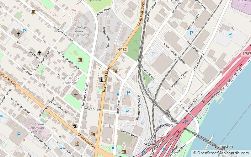
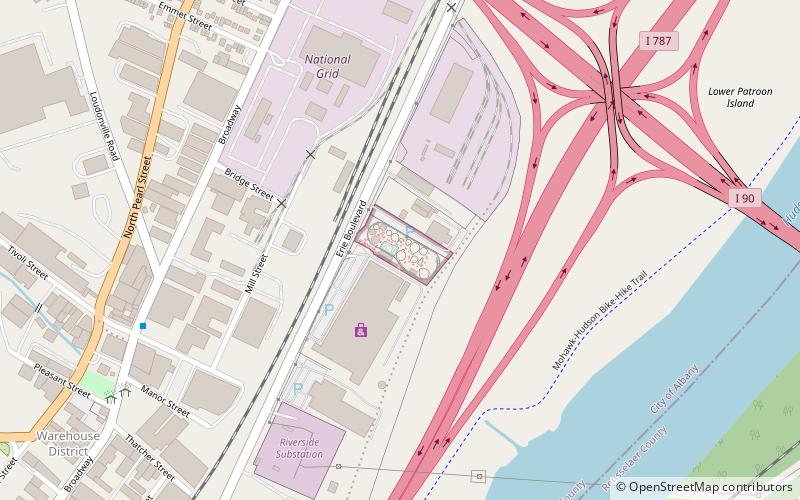
Map

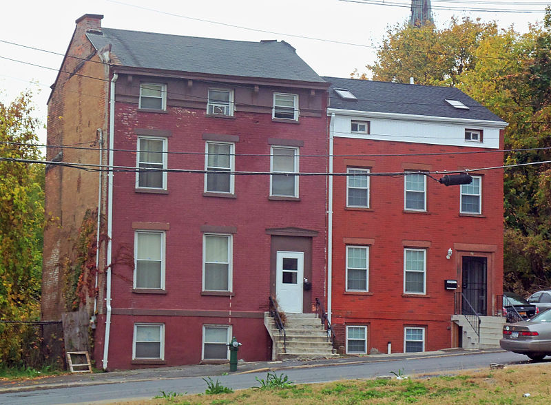
Gallery

Facts and practical information
The Broadway–Livingston Avenue Historic District is located at the junction of those two streets in Albany, New York, United States. It includes seven buildings remaining from an original 20, all contributing properties, and a Warren truss railroad bridge. In 1988 the area was recognized as a historic district and listed on the National Register of Historic Places. ()
Coordinates: 42°39'28"N, 73°44'53"W
Address
Arbor HillAlbany
ContactAdd
Social media
Add
Day trips
Broadway–Livingston Avenue Historic District – popular in the area (distance from the attraction)
Nearby attractions include: New York State Capitol, Statue of Philip Schuyler, The Egg Building, Albany City Hall.
Frequently Asked Questions (FAQ)
Which popular attractions are close to Broadway–Livingston Avenue Historic District?
Nearby attractions include Church of the Holy Innocents, Albany (2 min walk), Buildings at 744–750 Broadway, Albany (4 min walk), Ten Broeck Mansion, Albany (5 min walk), Arbor Hill Historic District–Ten Broeck Triangle, Albany (5 min walk).
How to get to Broadway–Livingston Avenue Historic District by public transport?
The nearest stations to Broadway–Livingston Avenue Historic District:
Bus
Train
Bus
- Broadway & Peter D Kiernan Plaza • Lines: 224, 540 (12 min walk)
- Washington Ave & Hawk St - Capitol/Hawk Station • Lines: 224, 540, 905 (15 min walk)
Train
- Albany-Rensselaer (31 min walk)


