Pier 42, New York City
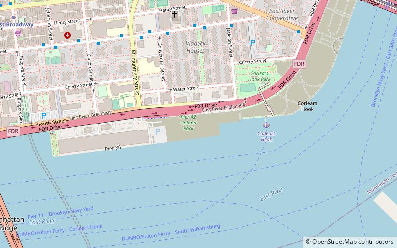
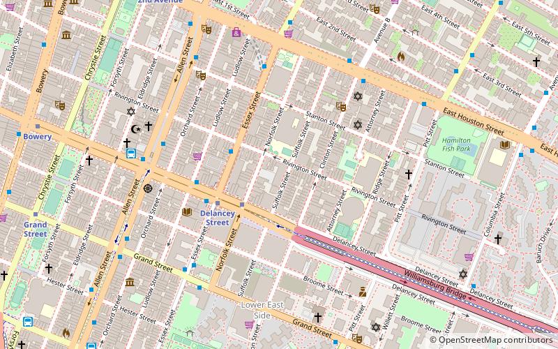
Map
Facts and practical information
Pier 42 is a pier in the Lower East Side of Manhattan, New York City. It was the last working cargo pier on the Manhattan shore of the East River, operating from 1963 to 1987. Since the early 2010s, plans have been underway to turn Pier 42 into a park. ()
Elevation: 0 ft a.s.l.Coordinates: 40°42'37"N, 73°58'56"W
Day trips
Pier 42 – popular in the area (distance from the attraction)
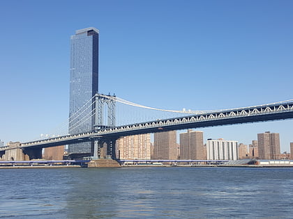
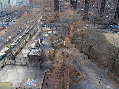
Nearby attractions include: Museum at Eldridge Street, Manhattan Bridge, Williamsburg Bridge, Coleman Playground.
Frequently Asked Questions (FAQ)
Which popular attractions are close to Pier 42?
Nearby attractions include St. Augustine's Church, New York City (7 min walk), Grand Street, New York City (9 min walk), Bialystoker Synagogue, New York City (11 min walk), St. Mary Church, New York City (11 min walk).
How to get to Pier 42 by public transport?
The nearest stations to Pier 42:
Metro
Bus
Metro
- East Broadway • Lines: <F>, F (13 min walk)
- Essex Street • Lines: J, M, Z (17 min walk)
Bus
- Pike St & Madison St • Lines: M15 (15 min walk)
- tiger bus (16 min walk)
 Subway
 Manhattan Buses
