West Albany, Albany
Map
Facts and practical information
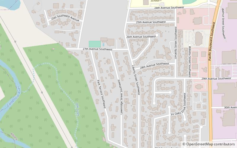
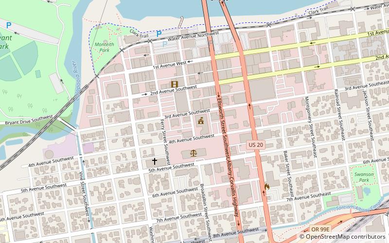
West Albany is a neighborhood of Albany, Oregon, United States. It includes the Fir Oaks subdivision. ()
Coordinates: 44°36'54"N, 123°7'13"W
Address
Albany
ContactAdd
Social media
Add
Getting there by public transportation
Public transportation stops near this location
- Bus
- Train
 Bus
Bus
- Calculate routeFlixBus Albany 35 min walk
- Calculate routeAlbany 37 min walk
Day trips


Frequently Asked Questions (FAQ)
How to get to West Albany by public transport?
The nearest stations to West Albany:
Bus
Train
Bus
- FlixBus Albany • Lines: 2110 (35 min walk)
Train
- Albany (37 min walk)