Washburn and Moen North Works District, Worcester
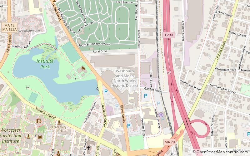
Map

Map

Facts and practical information
The Washburn and Moen North Works District encompass an industrial complex that housed the largest business in Worcester, Massachusetts in the second half of the 19th century. ()
Coordinates: 42°16'38"N, 71°48'2"W
Address
North Worcester (Indian Lake East)Worcester
ContactAdd
Social media
Add
Day trips
Washburn and Moen North Works District – popular in the area (distance from the attraction)
Nearby attractions include: DCU Center, Worcester Art Museum, Armsby Abbey, Equestrian statue of Charles Devens.
Frequently Asked Questions (FAQ)
Which popular attractions are close to Washburn and Moen North Works District?
Nearby attractions include Rural Cemetery, Worcester (7 min walk), Institute Park, Worcester (7 min walk), Tuckerman Hall, Worcester (7 min walk), Timothy Paine House, Worcester (8 min walk).
How to get to Washburn and Moen North Works District by public transport?
The nearest stations to Washburn and Moen North Works District:
Bus
Train
Bus
- Worcester Bus Station (29 min walk)
- WRTA Transportation Hub (30 min walk)
Train
- Worcester (30 min walk)


