Machine Shop Village District, Lawrence
Map

Map

Facts and practical information
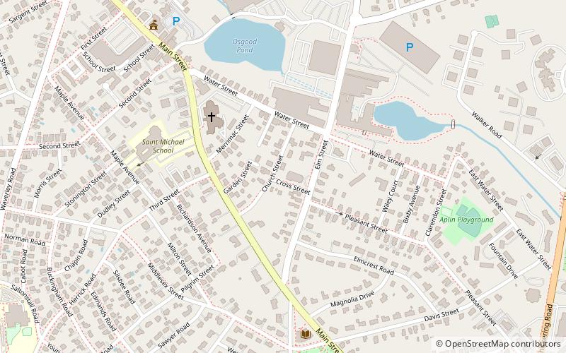
The Machine Shop Village District is a historic district roughly bounded by Main, Pleasant, Clarendon, Water, 2nd Streets, and B&M Railroad in North Andover, Massachusetts. The district encompasses a well-preserved former textile mill village developed in the mid-19th century, with a variety of worker and upper-class housing, and two historic mill complexes. It was added to the National Register of Historic Places in 1982. ()
Coordinates: 42°41'59"N, 71°7'37"W
Address
North AndoverLawrence
ContactAdd
Social media
Add
Day trips
Machine Shop Village District – popular in the area (distance from the attraction)
Nearby attractions include: North Andover, North Parish of North Andover, Osgood Hill, Tavern Acres Historic District.
Frequently Asked Questions (FAQ)
Which popular attractions are close to Machine Shop Village District?
Nearby attractions include Tavern Acres Historic District, Lawrence (9 min walk), North Andover, Lawrence (11 min walk).


