West Knoxville, Knoxville

Map
Facts and practical information
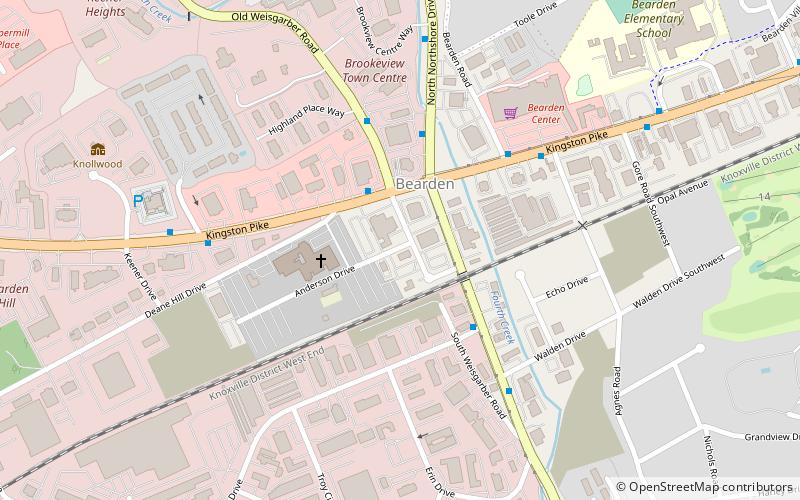
West Knoxville is a section of Knoxville, Tennessee, US. It west of the city's downtown area. It stretches from Sequoyah Hills on the east to the city's border with Farragut on the west. West Knoxville is concentrated around Kingston Pike, and along with Sequoyah Hills includes the neighborhoods of Lyons View, Forest Hills, Bearden, West Hills, Westmoreland Heights, Cedar Bluff, and Ebenezer. ()
Coordinates: 35°55'54"N, 84°0'12"W
Address
BeardenKnoxville
ContactAdd
Social media
Add
Day trips
West Knoxville – popular in the area (distance from the attraction)
Nearby attractions include: Sacred Heart Cathedral, Lakeshore Park, Knollwood, Bearden.
Frequently Asked Questions (FAQ)
Which popular attractions are close to West Knoxville?
Nearby attractions include Knollwood, Knoxville (9 min walk), Sacred Heart Cathedral, Knoxville (12 min walk), Bearden, Knoxville (19 min walk), Lakeshore Park, Knoxville (21 min walk).
How to get to West Knoxville by public transport?
The nearest stations to West Knoxville:
Bus
Bus
- Kingston Pk. at Northshore • Lines: 11 (2 min walk)
- Northshore SB at Baum • Lines: 19 (4 min walk)


