Oakwood-Lincoln Park, Knoxville
Map

Gallery

Facts and practical information
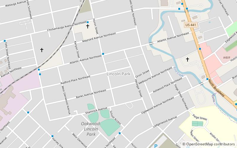
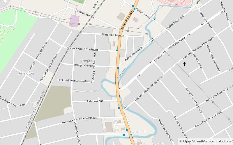
Oakwood-Lincoln Park is a residential and commercial neighborhood in Knoxville, Tennessee, United States that was developed in the early 20th century as two suburban neighborhoods. ()
Coordinates: 35°59'51"N, 83°55'51"W
Address
North Knoxville (Oakwood)Knoxville
ContactAdd
Social media
Add
Day trips
Oakwood-Lincoln Park – popular in the area (distance from the attraction)
Nearby attractions include: Sharp's Ridge, Lincoln Park United Methodist Church, Old North Knoxville, Edgewood Park Easter.
Frequently Asked Questions (FAQ)
Which popular attractions are close to Oakwood-Lincoln Park?
Nearby attractions include Lincoln Park United Methodist Church, Knoxville (9 min walk), Edgewood Park Easter, Knoxville (14 min walk), North Knoxville, Knoxville (15 min walk), Sharp's Ridge, Knoxville (19 min walk).
How to get to Oakwood-Lincoln Park by public transport?
The nearest stations to Oakwood-Lincoln Park:
Bus
Bus
- Altantic @ Huron • Lines: 21 (3 min walk)
- Huron St NB @ Oglewood Ave • Lines: 21 (7 min walk)


