Musical Fund Hall, Philadelphia
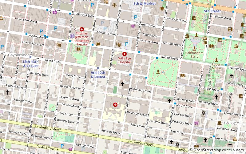
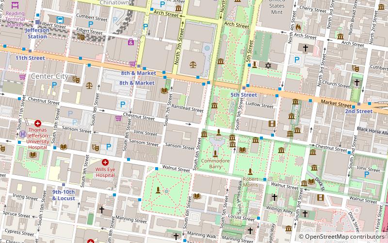
Map
Facts and practical information
The Musical Fund Hall in Philadelphia is a landmark building of both architectural and historic significance, noted especially for the illustrious persons who have spoken or performed there. It is perhaps best remembered as the setting for the first Republican National Convention, June 17–19, 1856. It was listed on the National Register of Historic Places in 1971. ()
Coordinates: 39°56'48"N, 75°9'18"W
Address
Center City (Washington Square West)Philadelphia
ContactAdd
Social media
Add
Getting there by public transportation
Public transportation stops near this location
- Metro
- Bus
- Tram
- Train
 Metro
Metro
- Calculate routeLocust St & 8th St 1 min walk
- Calculate routeWashington Sq & Locust St 3 min walk
- Calculate routeSpruce St & 6th St 6 min walk
- Calculate routeFlixBus Philadelphia Market Street 10 min walk
- Calculate route9th-10th & Locust 3 min walk
- Calculate route8th & Market 8 min walk
- Calculate route8th Street 8 min walk
- Calculate route12th-13th & Locust 9 min walk
- Calculate routeJefferson Station 12 min walk
- Calculate routeSuburban Station 22 min walk
- Calculate route13th Street 14 min walk
- Calculate route15th Street 18 min walk
- Calculate route19th Street 26 min walk
- Calculate route22nd Street 32 min walk
Maps SEPTA Regional Rail
SEPTA Regional RailDay trips
Musical Fund Hall – popular in the area (distance from the attraction)
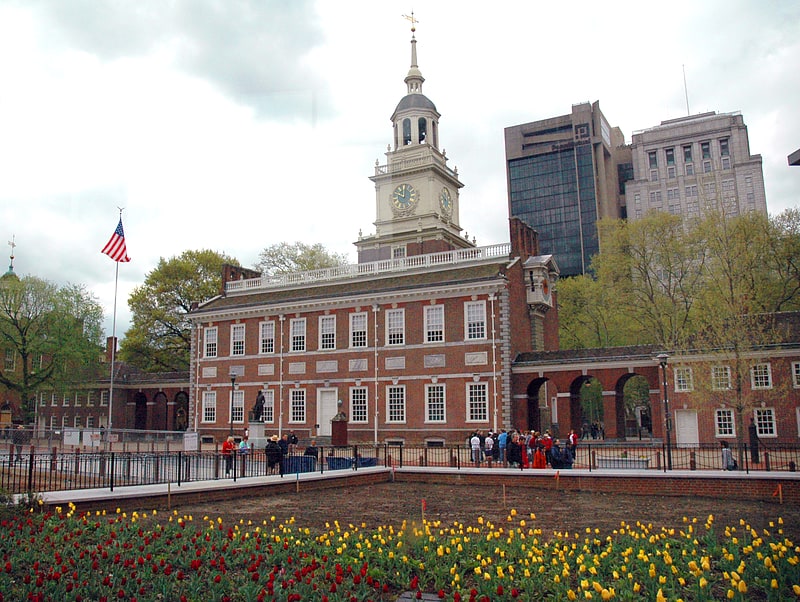
Nearby attractions include: Independence Hall, Mikveh Israel Cemetery, Congress Hall, Walnut Street Theatre.


Frequently Asked Questions (FAQ)
Which popular attractions are close to Musical Fund Hall?
Nearby attractions include Mikveh Israel Cemetery, Philadelphia (2 min walk), William Strickland Row, Philadelphia (2 min walk), The St. James, Philadelphia (3 min walk), Walnut Street Theatre, Philadelphia (4 min walk).
How to get to Musical Fund Hall by public transport?
The nearest stations to Musical Fund Hall:
Bus
Metro
Train
Tram
Bus
- Locust St & 8th St • Lines: 12, 47 (1 min walk)
- Washington Sq & Locust St • Lines: 12, 47 (3 min walk)
Metro
- 9th-10th & Locust • Lines: Patco (3 min walk)
- 8th & Market • Lines: Bsl, Patco (8 min walk)
Train
- Jefferson Station (12 min walk)
- Suburban Station (22 min walk)
Tram
- 13th Street • Lines: 10, 11, 13, 34, 36 (14 min walk)
- 15th Street • Lines: 10, 11, 13, 34, 36 (18 min walk)