Howe Springs, Pittsburgh
Map

Map

Facts and practical information
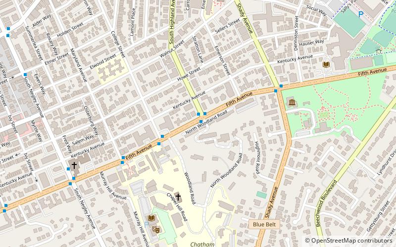
Howe Springs is located on the southern side of Fifth Ave in between S. Highland Ave and College St. in the Shadyside neighborhood of Pittsburgh, Pennsylvania. The spring was originally built in 1896 in the Romanesque architectural style, and was later renovated in 1912 in the neoclassical style. ()
Coordinates: 40°27'6"N, 79°55'27"W
Address
East End (Squirrel Hill North)Pittsburgh
ContactAdd
Social media
Add
Day trips
Howe Springs – popular in the area (distance from the attraction)
Nearby attractions include: Bob O'Connor Golf Course at Schenley Park, Bakery Square, Albright United Methodist Church, Tree of Life – Or L'Simcha Congregation.
Frequently Asked Questions (FAQ)
Which popular attractions are close to Howe Springs?
Nearby attractions include Pittsburgh Center for the Arts, Pittsburgh (6 min walk), Chatham University Arboretum, Pittsburgh (8 min walk), Calvary Episcopal Church, Pittsburgh (9 min walk), Mellon Park, Pittsburgh (11 min walk).
How to get to Howe Springs by public transport?
The nearest stations to Howe Springs:
Bus
Bus
- Fifth Avenue opposite College Street • Lines: 71B, 71D (3 min walk)
- Fifth Ave At Maryland Ave • Lines: 71D (5 min walk)


