DeKalb Avenue, Sea Gate
Map
Gallery
Facts and practical information
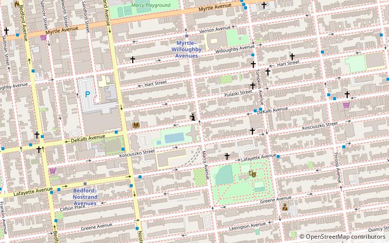
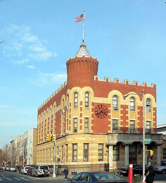
DeKalb Avenue is a thoroughfare in the New York City boroughs of Brooklyn and Queens, with the majority of its length in Brooklyn. ()
Coordinates: 40°41'30"N, 73°56'55"W
Address
Northern Brooklyn (Bedford-Stuyvesant)Sea Gate
ContactAdd
Social media
Add
Day trips
DeKalb Avenue – popular in the area (distance from the attraction)
Nearby attractions include: Queen of All Saints Church, Moore Street Retail Market, St. Bartholomew's Protestant Episcopal Church and Rectory, Apostolic Faith Mission.
Frequently Asked Questions (FAQ)
Which popular attractions are close to DeKalb Avenue?
Nearby attractions include Magnolia grandiflora, Sea Gate (4 min walk), Bedford–Stuyvesant, New York City (8 min walk), Clinton Hill, Sea Gate (16 min walk), Pratt Playground, Sea Gate (19 min walk).
How to get to DeKalb Avenue by public transport?
The nearest stations to DeKalb Avenue:
Metro
Train
Bus
Metro
- Myrtle–Willoughby Avenues • Lines: G (6 min walk)
- Bedford–Nostrand Avenues • Lines: G (8 min walk)
Train
- Nostrand Avenue (24 min walk)
Bus
- Myrtle Avenue & Washington Avenue • Lines: B54 (25 min walk)
- Vanderbilt Avenue & Myrtle Avenue • Lines: B69 (29 min walk)


