Roundtop Trail, Great Smoky Mountains National Park
Map

Gallery

Facts and practical information
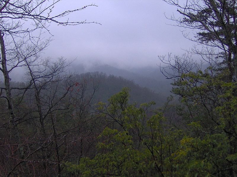
The Roundtop Trail is an American hiking trail in Sevier County and Blount County sections of the Great Smoky Mountains National Park. The trail traverses the crest of Roundtop, a 3,077-foot mountain that straddles the park's northern boundary. This trail, which passes through a thick forest of pine and oak and provides vistas of the valleys to the north and the mountains to the south, is one of the least-used trails in the park. ()
Season: All yearCoordinates: 35°41'33"N, 83°38'46"W
Address
Great Smoky Mountains National Park
ContactAdd
Social media
Add
Day trips
Roundtop Trail – popular in the area (distance from the attraction)
Nearby attractions include: Meigs Mountain Trail, Mayna Treanor Avent Studio, Walker Sisters Place, Great Smoky Mountains Heritage Center.
Frequently Asked Questions (FAQ)
Which popular attractions are close to Roundtop Trail?
Nearby attractions include Little Greenbrier School, Great Smoky Mountains National Park (19 min walk), Walker Sisters Place, Great Smoky Mountains National Park (24 min walk).


