Happy Hollow Heights Historic District, West Lafayette
Map

Map

Facts and practical information
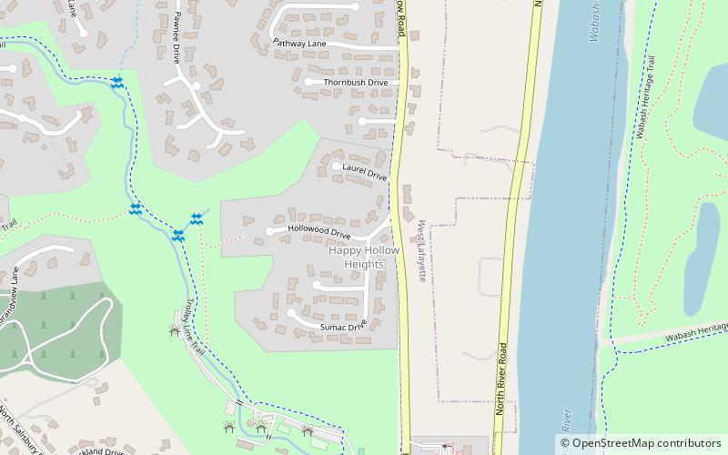
Happy Hollow Heights Historic District is a national historic district located at West Lafayette, Tippecanoe County, Indiana. The district encompasses 54 contributing buildings in a predominantly planned residential section of Lafayette, platted in 1953 and expanded in 1958. It developed between about 1953 and 1967 and includes representative examples of Ranch, Modern, and Split-level style architecture. ()
Coordinates: 40°26'36"N, 86°54'1"W
Address
Happy HollowWest Lafayette
ContactAdd
Social media
Add
Day trips
Happy Hollow Heights Historic District – popular in the area (distance from the attraction)
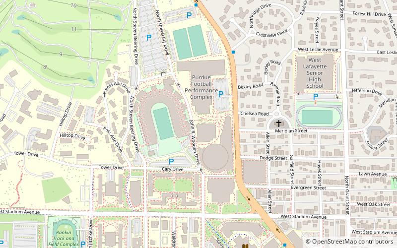
Nearby attractions include: Ross-Ade Stadium, Mackey Arena, Engineering Fountain, Samara.
Frequently Asked Questions (FAQ)
Which popular attractions are close to Happy Hollow Heights Historic District?
Nearby attractions include Curtis–Grace House, West Lafayette (12 min walk), New Chauncey Neighborhood, West Lafayette (21 min walk), Hills and Dales Historic District, West Lafayette (23 min walk), Chauncey–Stadium Avenues Historic District, West Lafayette (23 min walk).
How to get to Happy Hollow Heights Historic District by public transport?
The nearest stations to Happy Hollow Heights Historic District:
Bus
Bus
- Happy Hollow BUS145E • Lines: 5A (21 min walk)


