Pleasant Valley, Little Rock

Map
Facts and practical information
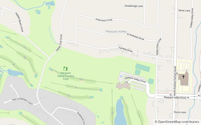
Pleasant Valley is a neighborhood that is among the older western neighborhoods of the city of Little Rock, Arkansas. The area is to the northwest of Breckenridge and west of Colony West. Pleasant Valley lies to the south of the hillier Pleasant Ridge and Walton Heights areas, and mostly to the east of St. Charles. ()
Coordinates: 34°46'49"N, 92°24'30"W
Address
River MountainLittle Rock
ContactAdd
Social media
Add
Day trips
Pleasant Valley – popular in the area (distance from the attraction)
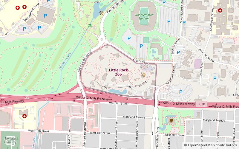
Nearby attractions include: Park Plaza Mall, War Memorial Stadium, Little Rock Zoo, Big Dam Bridge.


