Clifton Heights, Louisville
Map
Facts and practical information
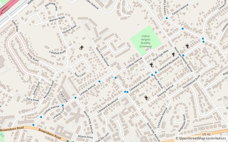
Clifton Heights is a neighborhood two miles east of downtown Louisville, Kentucky USA. It was named because of its hilly location atop a ridge about 100 feet above the Ohio River floodplain, overlooking the adjacent community of Clifton. Though first planned in the 1890s as Summit Park, actual growth didn't begin until after World War I when automobiles made the hilly area accessible. Clifton Heights has had an African American presence since its founding, in 2000 they accounted for 21% of the population. Housing stock includes a variety of styles and time frames, from older shotgun houses and bungalows to suburban ranch homes built in the 1970s. ()
Coordinates: 38°15'47"N, 85°42'5"W
Address
Central Louisville (Clifton Heights)Louisville
ContactAdd
Social media
Add
Getting there by public transportation
Public transportation stops near this location
- Bus
 Bus
Bus
- Calculate routeHite / Lindsay 1 min walk
- Calculate routeLindsay / 2619 2 min walk
- Calculate routeCleveland / Pryor 5 min walk
Day trips


Frequently Asked Questions (FAQ)
Which popular attractions are close to Clifton Heights?
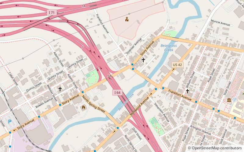
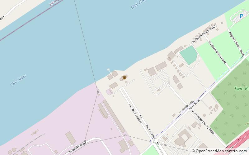
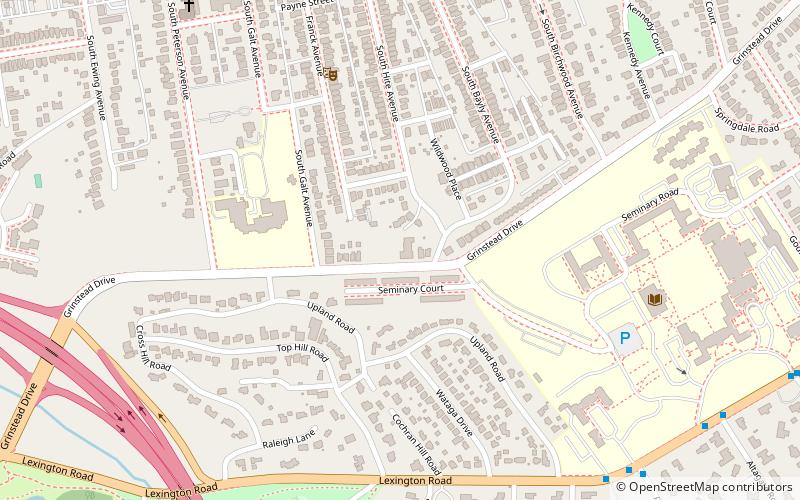
Nearby attractions include Repton, Louisville (9 min walk), Bingham Park - Louisville, Louisville (15 min walk), Brownsboro-Zorn, Louisville (17 min walk), Mellwood Arts & Entertainment Center, Louisville (17 min walk).
How to get to Clifton Heights by public transport?
The nearest stations to Clifton Heights:
Bus
Bus
- Hite / Lindsay • Lines: 15East Chenoweth&VA, 15East LimeKiln&VA, 15West Chenoweth&VA, 15West LimeKiln&VA (1 min walk)
- Lindsay / 2619 • Lines: 15East Chenoweth&VA, 15East LimeKiln&VA, 15West Chenoweth&VA, 15West LimeKiln&VA (2 min walk)