Parkside Historic District, Hartford
Map

Map

Facts and practical information
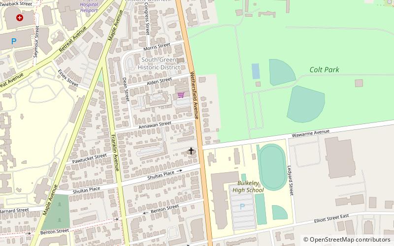
The Parkside Historic District encompasses a fine collection of Queen Anne Victorian houses lining the east side of Wethersfield Avenue north of Wawarme Avenue in southern Hartford, Connecticut. This area was developed in the 1880s and 1890s by Mrs. Elizabeth Jarvis Colt, widow of arms manufacturer Samuel Colt, out of a portion of their extensive estate. Of this development, a row of nine houses now remains; it was listed on the National Register of Historic Places in 1984. ()
Coordinates: 41°45'1"N, 72°40'26"W
Address
Barry SquareHartford
ContactAdd
Social media
Add
Day trips
Parkside Historic District – popular in the area (distance from the attraction)
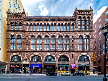
Nearby attractions include: Wadsworth Atheneum, Connecticut Science Center, The Bushnell Center for the Performing Arts, Cheney Building.
Frequently Asked Questions (FAQ)
Which popular attractions are close to Parkside Historic District?
Nearby attractions include South Green Historic District, Hartford (5 min walk), Coltsville Historic District, Hartford (7 min walk), Congress Street, Hartford (8 min walk), Colt Park, Hartford (9 min walk).
How to get to Parkside Historic District by public transport?
The nearest stations to Parkside Historic District:
Bus
Bus
- Sigourney Street Station (38 min walk)


