Almeda, Houston
Map

Gallery
Facts and practical information
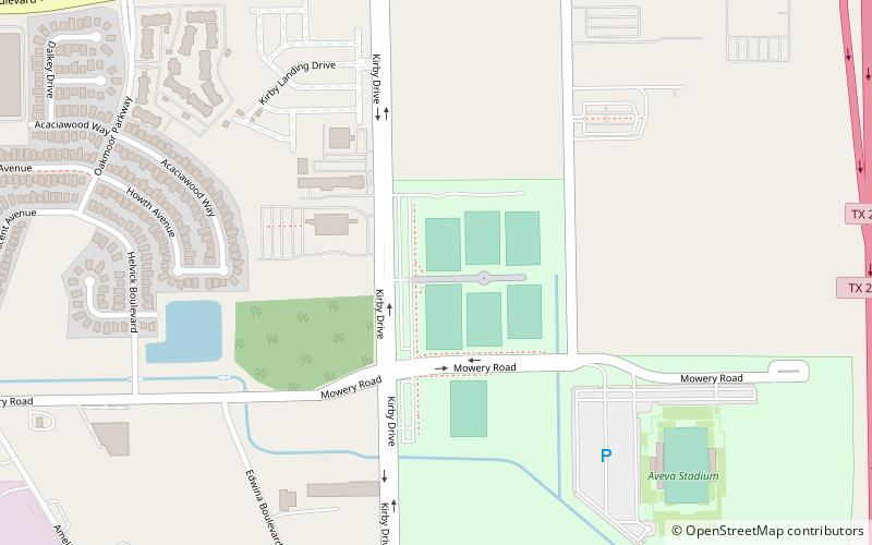
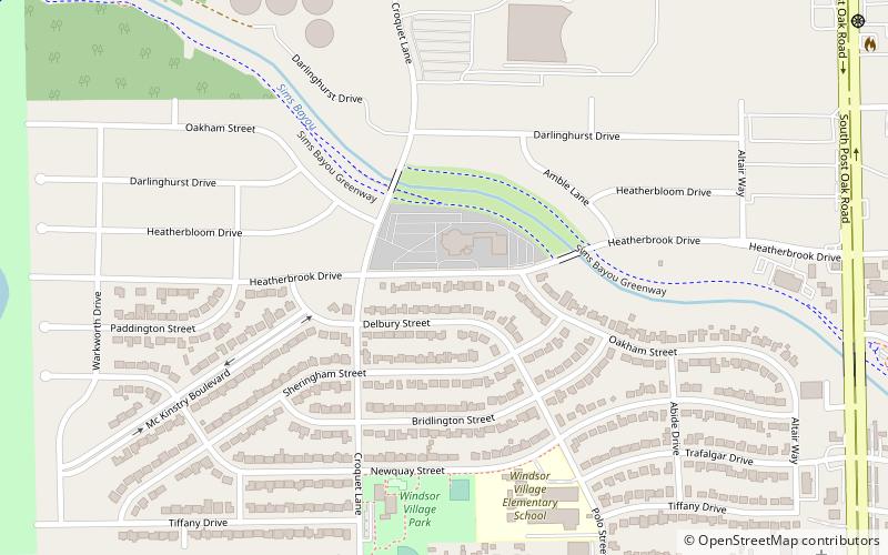
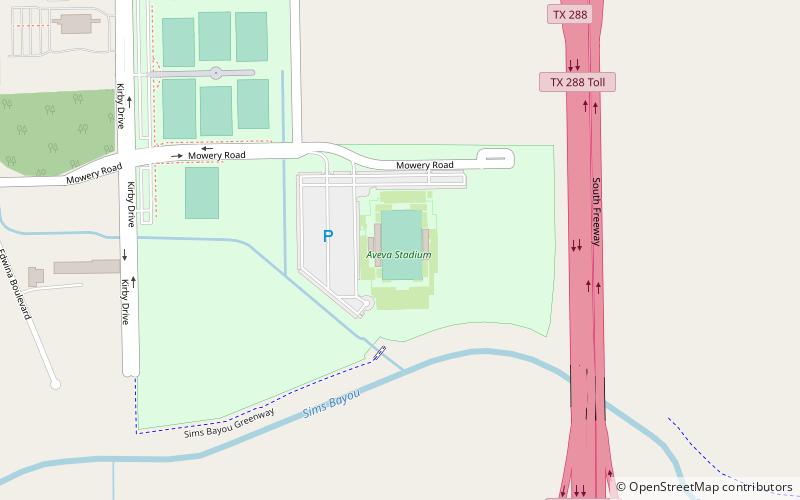
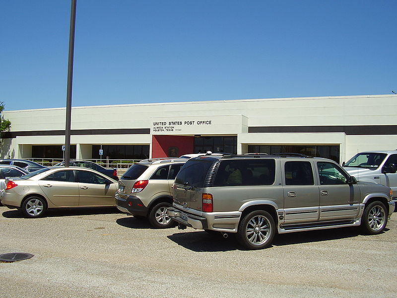
Almeda is an area located along Texas State Highway 288 and the Missouri Pacific Railroad in Southwest Houston, Texas, United States that used to be a distinct unincorporated community in Harris County. Almeda is 11 miles from Downtown Houston. ()
Coordinates: 29°36'15"N, 95°25'2"W
Address
Southwest Houston (Central Southwest)Houston
ContactAdd
Social media
Add
Day trips
Almeda – popular in the area (distance from the attraction)
Nearby attractions include: NRG Stadium, Pearland Town Center, Astrodome, Six Flags AstroWorld.
Frequently Asked Questions (FAQ)
How to get to Almeda by public transport?
The nearest stations to Almeda:
Bus
Bus
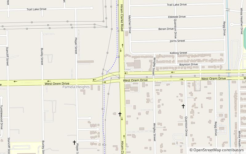
- Hiram Clarke Transit Center (29 min walk)

