Hill District, Pittsburgh
Map

Map

Facts and practical information
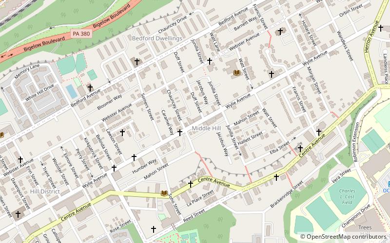
The Hill District is a grouping of historically African American neighborhoods in the City of Pittsburgh, Pennsylvania. Beginning in the years leading up to World War I, "the Hill" was the cultural center of black life in the city and a major center of jazz. Despite its cultural and economic vibrancy, in the mid-1950s a substantial area was slated for redevelopment, displacing about 8,000 individuals. ()
Area: 114.56 acres (0.179 mi²)Coordinates: 40°26'52"N, 79°58'22"W
Address
Central Pittsburgh (Middle Hill)Pittsburgh
ContactAdd
Social media
Add
Day trips
Hill District – popular in the area (distance from the attraction)
Nearby attractions include: PPG Paints Arena, Petersen Events Center, Carnegie Museums of Pittsburgh, Immaculate Heart of Mary Church.
Frequently Asked Questions (FAQ)
Which popular attractions are close to Hill District?
Nearby attractions include Tuberculosis Hospital of Pittsburgh, Pittsburgh (12 min walk), New Granada Theater, Pittsburgh (12 min walk), John Wesley A.M.E. Zion Church, Pittsburgh (13 min walk), Liberty Avenue, Pittsburgh (15 min walk).
How to get to Hill District by public transport?
The nearest stations to Hill District:
Bus
Train
Light rail
Bus
- Fifth Avenue opposite Craft Avenue • Lines: 71B (21 min walk)
- Atwood Station • Lines: 71B (22 min walk)
Train
- Pittsburgh Union Station (26 min walk)
Light rail
- Steel Plaza • Lines: Blue, Red, Silver (33 min walk)


