Squier Park, Kansas City
Map
Facts and practical information
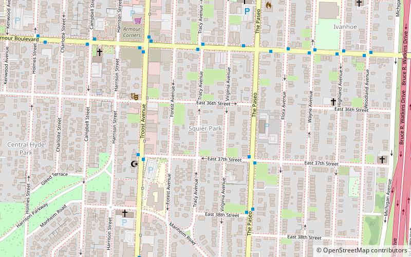
Squier Park is a historic neighborhood in midtown Kansas City, Missouri, USA. It encompasses sixteen blocks bounded by Armour Boulevard on the north, 39th Street on the south, Troost Avenue on the west, and Paseo Boulevard on the east. It is primarily a residential neighborhood, with businesses along Troost Avenue. It has been listed on the National Register of Historic Places since 2012. ()
Coordinates: 39°3'38"N, 94°34'9"W
Address
Midtown (Squier Park)Kansas City
ContactAdd
Social media
Add
Getting there by public transportation
Public transportation stops near this location
- Bus
 Bus
Bus
- Calculate routeArmour at Tracy 5 min walk
- Calculate route35th at The Paseo 6 min walk
Day trips


Frequently Asked Questions (FAQ)
Which popular attractions are close to Squier Park?
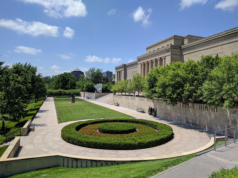
Nearby attractions include Troost Avenue, Kansas City (15 min walk), Scottish Rite Temple, Kansas City (16 min walk), Mesner Puppet Theater, Kansas City (16 min walk), Westminster Congregational Church, Kansas City (22 min walk).
How to get to Squier Park by public transport?
The nearest stations to Squier Park:
Bus
Bus
- Armour at Tracy • Lines: 35 (5 min walk)
- 35th at The Paseo • Lines: 35 (6 min walk)