Ma and Pa Trail, Bel Air

Map
Facts and practical information
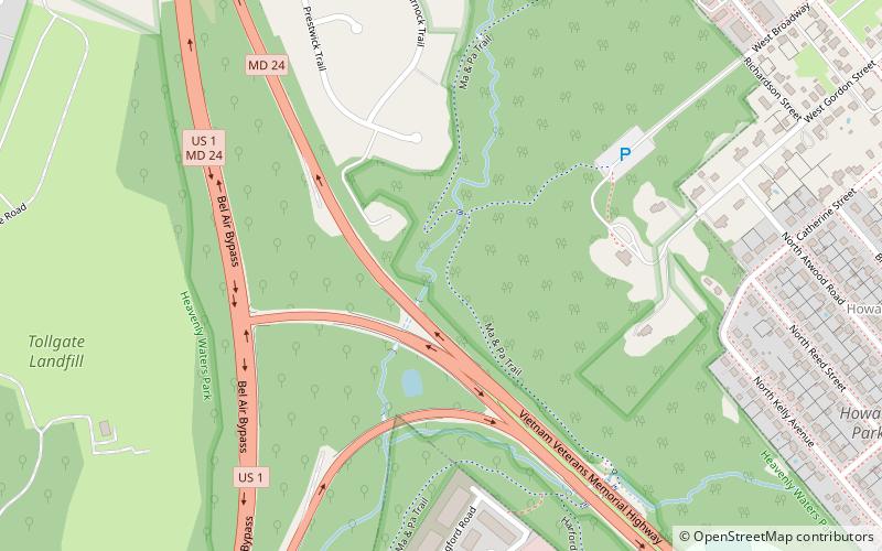
The Ma and Pa Trail is a 6.25-mile multi-purpose rail trail that follows the path of the old Ma and Pa Railroad through Harford County, Maryland. It contains three linked trails, one unconnected, with plans to bridge the gap in the middle, bringing the total length to 10 miles. Both links of the trail have a variety of trail surfaces, have few steep hills or hazards, and contain overlooks and bridges when necessary. ()
Season: All yearCoordinates: 39°32'2"N, 76°21'50"W
Address
Bel Air
ContactAdd
Social media
Add
Day trips
Ma and Pa Trail – popular in the area (distance from the attraction)
Nearby attractions include: Harford Mall, Hays House, Odd Fellows Lodge, Liriodendron.
Frequently Asked Questions (FAQ)
Which popular attractions are close to Ma and Pa Trail?
Nearby attractions include Liriodendron, Bel Air (4 min walk), Bel Air Courthouse Historic District, Bel Air (20 min walk), Bel Air Armory, Bel Air (20 min walk), Odd Fellows Lodge, Bel Air (22 min walk).
How to get to Ma and Pa Trail by public transport?
The nearest stations to Ma and Pa Trail:
Bus
Bus
- Legacy at Gateway • Lines: 6 Orange (8 min walk)
- Near Post Office • Lines: 6 Orange (13 min walk)


