Olney Street–Alumni Avenue Historic District, Providence


Facts and practical information
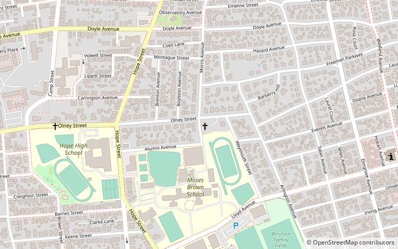
Olney Street–Alumni Avenue Historic District is a residential historic district in northeastern Providence, Rhode Island. Located just north of the Moses Brown School campus, this is an enclave of 53 tasteful yet conservative houses built between about 1880 and 1938. It includes houses along Olney Street and Alumni Avenue between Hope and Arlington Streets, and includes a few houses on adjacent streets. Most of these houses are uniformly set back from the street, even though there was no zoning requiring that at the time, and are of brick and/or wood construction. They are stylistically heterogeneous, with Queen Anne and the Colonial Revival predominating. ()
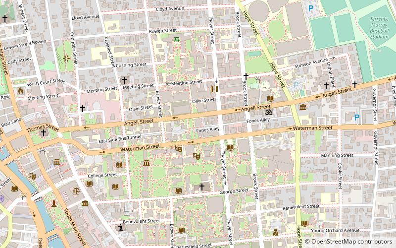
College HillProvidence
Olney Street–Alumni Avenue Historic District – popular in the area (distance from the attraction)
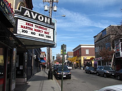
Nearby attractions include: Prospect Terrace Park, RISD Museum, Governor Henry Lippitt House, Avon Cinema.
Frequently Asked Questions (FAQ)
Which popular attractions are close to Olney Street–Alumni Avenue Historic District?
How to get to Olney Street–Alumni Avenue Historic District by public transport?
Train
- Providence (24 min walk)
Bus
- Memorial and Exchange • Lines: 12x, 14, 21, 30, 65x, 95x (25 min walk)
- Kennedy Plaza Stop Y • Lines: 49, 60 (26 min walk)


