Garfield Place Historic District, Poughkeepsie
Map

Map

Facts and practical information
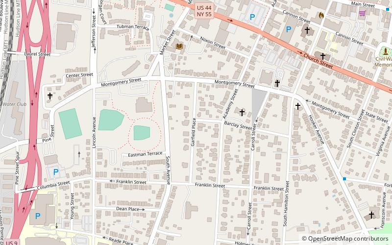
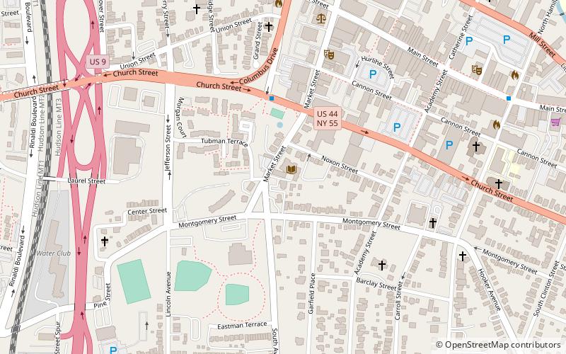
The Garfield Place Historic District is a small residential neighborhood in southern Poughkeepsie, New York, United States. It is a 20-acre area covering all properties on Garfield Place, which runs for two blocks between Franklin and Montgomery streets, as well as some on nearby sections of Montgomery and Barclay. In 1972 it was listed on the National Register of Historic Places. ()
Coordinates: 41°41'53"N, 73°55'46"W
Address
PoughkeepsiePoughkeepsie
ContactAdd
Social media
Add
Day trips
Garfield Place Historic District – popular in the area (distance from the attraction)
Nearby attractions include: Mid-Hudson Civic Center, Bardavon 1869 Opera House, The Chance, St. Mary's Church.
Frequently Asked Questions (FAQ)
Which popular attractions are close to Garfield Place Historic District?
Nearby attractions include Mid-Hudson Library System, Poughkeepsie (5 min walk), Adriance Memorial Library, Poughkeepsie (5 min walk), Poughkeepsie Meeting House, Poughkeepsie (5 min walk), Barrett House, Poughkeepsie (5 min walk).
How to get to Garfield Place Historic District by public transport?
The nearest stations to Garfield Place Historic District:
Bus
Train
Bus
- Columbus Drive & Church Street East • Lines: D, E (8 min walk)
- Forbus Street & Hooker Avenue • Lines: Southside (10 min walk)
Train
- Poughkeepsie (20 min walk)


