Fort Mason Tunnel, San Francisco
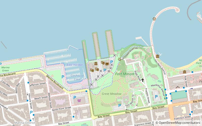
Map
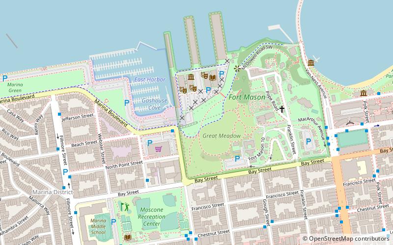
Map

Facts and practical information
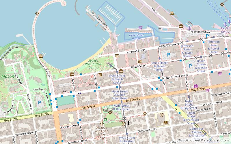
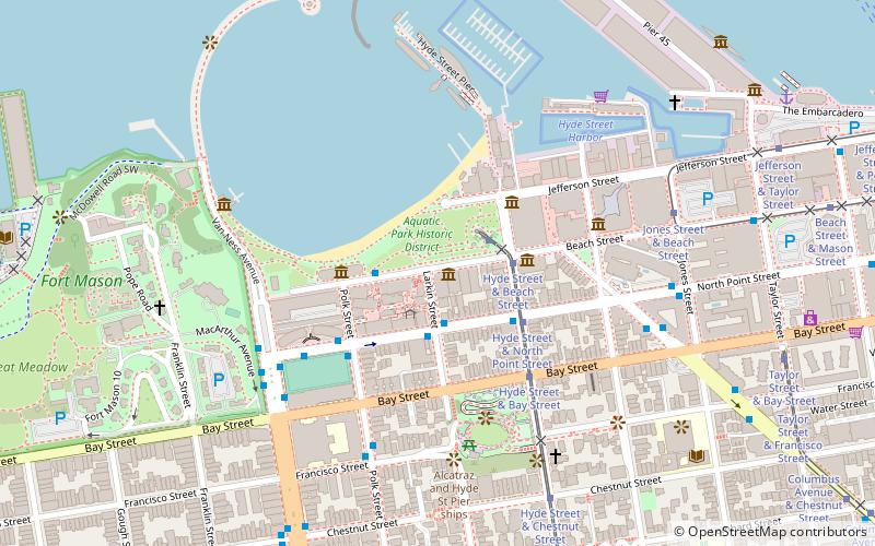
Fort Mason Tunnel is an abandoned single-track railway tunnel in San Francisco which runs under a small hill upon which sits a portion of the old Fort Mason. The tunnel was constructed in 1913 and opened to rail traffic in 1914. The east portal is near the north end of Van Ness Avenue; the west portal feeds onto Marina Boulevard at Laguna Street. ()
Coordinates: 37°48'19"N, 122°25'52"W
Address
Northwest San Francisco (Aquatic Park-Fort Mason)San Francisco
ContactAdd
Social media
Add
Day trips
Fort Mason Tunnel – popular in the area (distance from the attraction)
Nearby attractions include: Aquatic Park Historic District, Lombard Street, Maritime Museum, Fort Mason.
Frequently Asked Questions (FAQ)
Which popular attractions are close to Fort Mason Tunnel?
Nearby attractions include BATS Improv, San Francisco (3 min walk), Mexican Museum, San Francisco (3 min walk), The Long Now Foundation Museum, San Francisco (3 min walk), Museo ItaloAmericano, San Francisco (3 min walk).
How to get to Fort Mason Tunnel by public transport?
The nearest stations to Fort Mason Tunnel:
Trolleybus
Bus
Tram
Ferry
Trolleybus
- Chestnut Street & Laguna Street • Lines: 30 (8 min walk)
- Van Ness Avenue & North Point Street • Lines: 30 (9 min walk)
Bus
- Chestnut Street & Laguna Street • Lines: 30 (8 min walk)
- Van Ness Avenue & North Point Street • Lines: 30, 49, 90, 91 (9 min walk)
Tram
- Hyde Street & Beach Street (15 min walk)
- Hyde Street & North Point Street (16 min walk)
Ferry
- Pier 41 Gate 1 • Lines: Blue & Gold Fleet (27 min walk)
- Pier 41 Gate 2 • Lines: Blue & Gold Fleet, San Francisco Bay Ferry (28 min walk)

 Muni Metro


