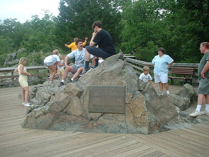
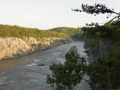
Billy Goat Trail, Great Falls
Map
Gallery
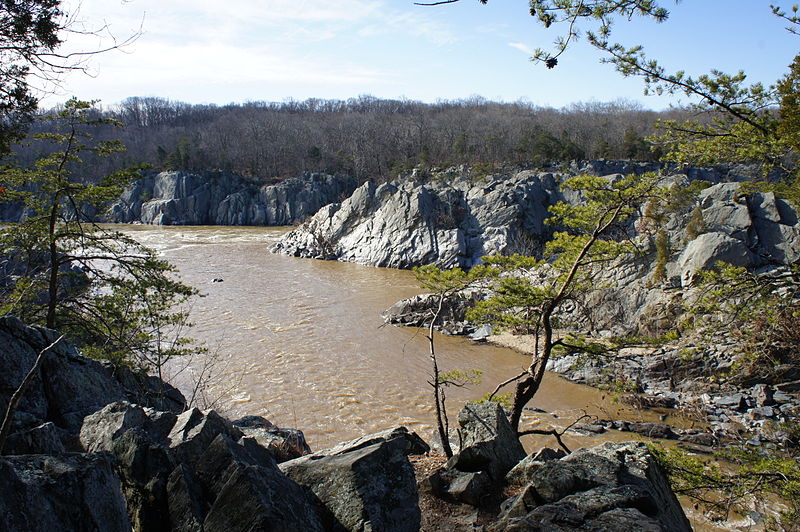
Facts and practical information
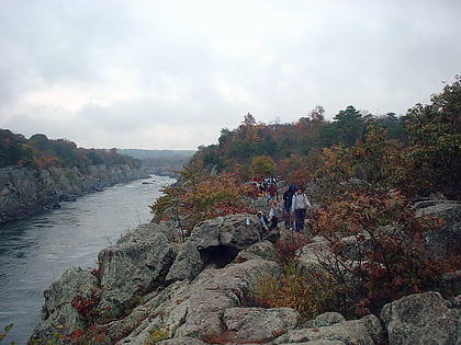
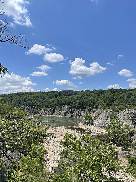
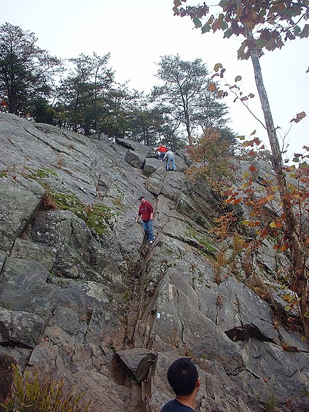
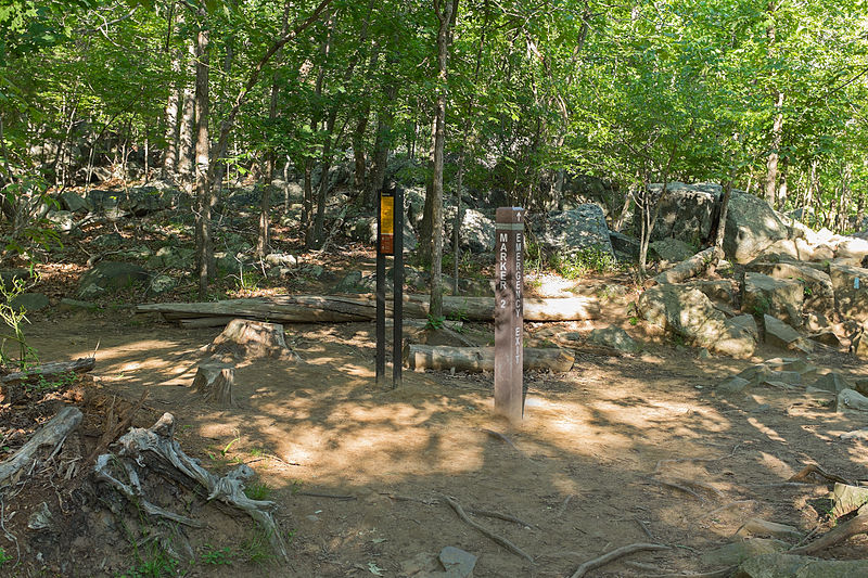
The Billy Goat Trail is a 4.7-mile hiking trail that follows a path between the C&O Canal and the Potomac River within the Chesapeake and Ohio Canal National Historical Park near the Great Falls in Montgomery County, Maryland. The trail has three sections: Section A, the northernmost, is 1.7 miles; Section B is 1.4 miles; and Section C, the southernmost, is 1.6 miles ()
Season: All yearCoordinates: 38°59'38"N, 77°14'45"W
Address
PotomacGreat Falls
ContactAdd
Social media
Add
Day trips
Billy Goat Trail – popular in the area (distance from the attraction)
Nearby attractions include: Great Falls, Great Falls Park, Olmsted Island, Mather Gorge.
Frequently Asked Questions (FAQ)
Which popular attractions are close to Billy Goat Trail?
Nearby attractions include Olmsted Island, Great Falls (10 min walk), Great Falls, McLean (12 min walk), Great Falls Park, Great Falls (13 min walk).
