Nicetown–Tioga, Philadelphia
Map

Map

Facts and practical information
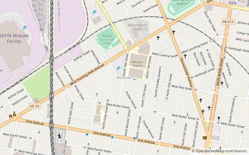
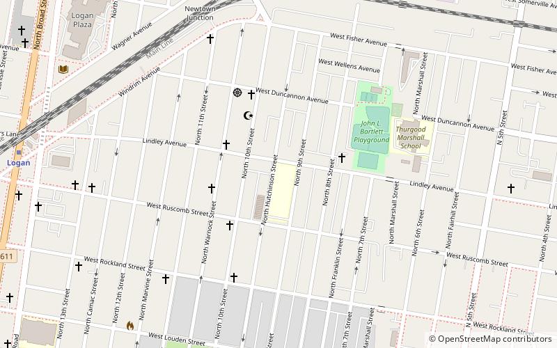
Nicetown–Tioga is a neighborhood in the North Philadelphia section of the city of Philadelphia, in the U.S. state of Pennsylvania. It comprises two smaller, older neighborhoods, Nicetown and Tioga, although the distinction between the two is rarely emphasized today. The name "Nicetown" is often simply used to refer to any part of Nicetown–Tioga. ()
Coordinates: 40°0'47"N, 75°9'25"W
Address
Upper North Philadelphia (Tioga)Philadelphia
ContactAdd
Social media
Add
Day trips
Nicetown–Tioga – popular in the area (distance from the attraction)
Nearby attractions include: Simon Muhr Work Training School, Fair Hill Burial Ground, Wissahickon, Stenton Mansion.
Frequently Asked Questions (FAQ)
Which popular attractions are close to Nicetown–Tioga?
Nearby attractions include Budd Company, Philadelphia (19 min walk), Stenton Mansion, Philadelphia (19 min walk), St. Joseph's House for Homeless Industrious Boys, Philadelphia (21 min walk), North Philadelphia, Philadelphia (22 min walk).
How to get to Nicetown–Tioga by public transport?
The nearest stations to Nicetown–Tioga:
Metro
Train
Metro
- Erie • Lines: Bsl (11 min walk)
- Hunting Park • Lines: Bsl (13 min walk)
Train
- Wayne Junction (18 min walk)
- Allegheny (21 min walk)

 SEPTA Regional Rail


