Woodland Street Historic District, Worcester
Map

Map

Facts and practical information
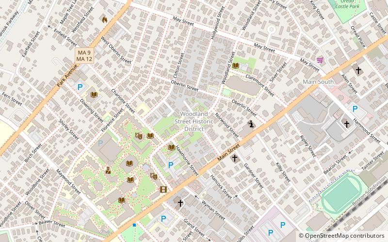
The Woodland Street Historic District is a historic housing district in the Main South area of Worcester, Massachusetts. It consists of 19 Victorian houses that either face or abut on Woodland Street, between Charlotte and Oberlin Streets. The district was listed on the National Register of Historic Places in 1980. Located directly adjacent to the campus of Clark University, some of the buildings are used by Clark for housing and administration. ()
Coordinates: 42°15'11"N, 71°49'13"W
Address
Central City (University Park)Worcester
ContactAdd
Social media
Add
Day trips
Woodland Street Historic District – popular in the area (distance from the attraction)
Nearby attractions include: DCU Center, Armsby Abbey, Worcester City Hall and Common, Mechanics Hall.
Frequently Asked Questions (FAQ)
Which popular attractions are close to Woodland Street Historic District?
Nearby attractions include St. Peters Catholic Church, Worcester (2 min walk), South Unitarian Church, Worcester (3 min walk), Pilgrim Congregational Church, Worcester (4 min walk), Main South, Worcester (5 min walk).


