Ryers, Philadelphia

Map
Facts and practical information
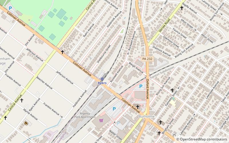
Ryers is a neighborhood in Northeast Philadelphia. Ryers is bounded by Cottman Avenue on the southwest, Fillmore Street on the northwest. Both of these highways separate Philadelphia from Cheltenham and Rockledge, Montgomery County. The Fox Chase Line separates Ryers from Burholme and Fox Chase borders it via Hartel St. on the northeast. ()
Coordinates: 40°3'50"N, 75°5'10"W
Address
Near Northeast Philadelphia (Burholme)Philadelphia
ContactAdd
Social media
Add
Day trips
Ryers – popular in the area (distance from the attraction)
Nearby attractions include: St. William Parish, Knowlton Mansion, Burholme Park, Old Trinity Church.
Frequently Asked Questions (FAQ)
Which popular attractions are close to Ryers?
Nearby attractions include Kennedy Crossan School, Philadelphia (8 min walk), Ryerss Museum & Library, Philadelphia (9 min walk), Burholme, Philadelphia (9 min walk), Burholme Park, Philadelphia (12 min walk).
How to get to Ryers by public transport?
The nearest stations to Ryers:
Train
Train
- Ryers (2 min walk)
- Cheltenham (15 min walk)
 SEPTA Regional Rail


