Lowry Hill, Minneapolis
Map
Gallery
Facts and practical information
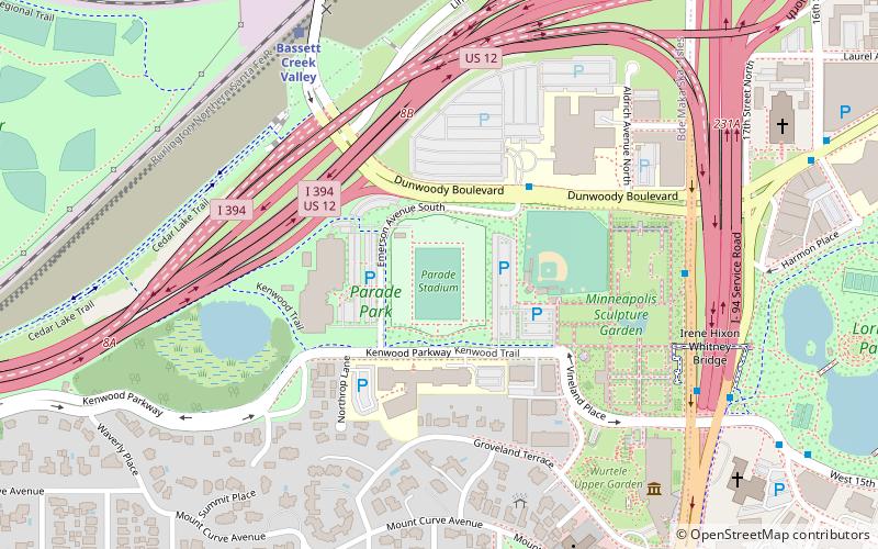
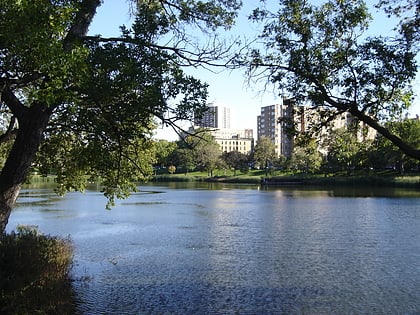
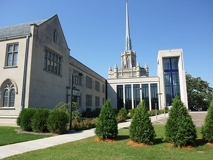
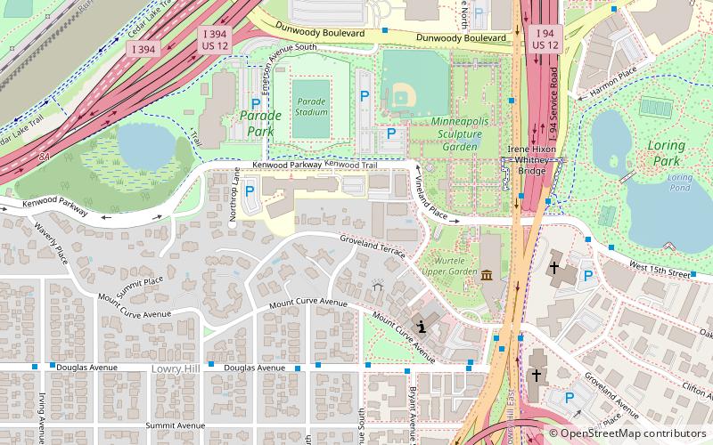
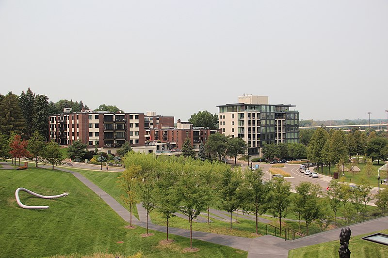
Lowry Hill is a neighborhood within the Calhoun-Isles community in Minneapolis, Minnesota. The neighborhood is regarded as being one of the city’s most upscale and wealthy neighborhoods. It was historically the home of Minneapolis’s most prominent milling and lumber families. ()
Area: 0.62 mi²Coordinates: 44°58'8"N, 93°17'31"W
Address
Calhoun Isles (Lowry Hill)Minneapolis
ContactAdd
Social media
Add
Day trips
Lowry Hill – popular in the area (distance from the attraction)
Nearby attractions include: Dakota Jazz Club, Spoonbridge and Cherry, Target Plaza South, Walker Art Center.
Frequently Asked Questions (FAQ)
Which popular attractions are close to Lowry Hill?
Nearby attractions include Groveland Gallery, Minneapolis (4 min walk), Spoonbridge and Cherry, Minneapolis (5 min walk), Minneapolis Sculpture Garden, Minneapolis (5 min walk), Walker Art Center, Minneapolis (5 min walk).
How to get to Lowry Hill by public transport?
The nearest stations to Lowry Hill:
Bus
Light rail
Train
Bus
- Vineland Place • Lines: 4A, 4L, 4P (6 min walk)
- Dunwoody Av • Lines: 4A, 4L, 4P (6 min walk)
Light rail
- Target Field • Lines: 901, 902 (31 min walk)
- Warehouse District/Hennepin Avenue • Lines: 901, 902 (31 min walk)
Train
- Target Field (32 min walk)

