Bath Avenue Historic District, Ashland

Gallery (1)
Map
Map
Facts and practical information
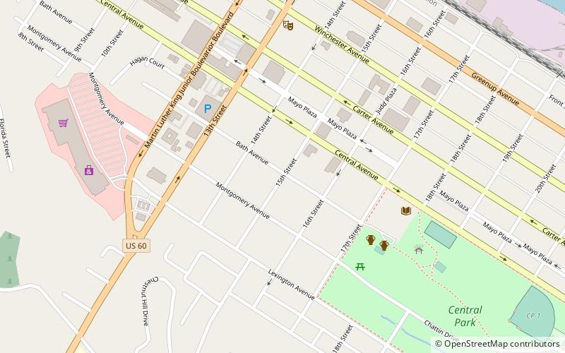
The Bath Avenue Historic District, in Ashland, Kentucky, is a 15 acres historic district which was listed on the National Register of Historic Places in 1979. It included 26 contributing buildings and two contributing objects. ()
Area: 15 acres (0.0234 mi²)Coordinates: 38°28'35"N, 82°38'35"W
Address
Ashland (Central Avenue - 29th Street)Ashland
ContactAdd
Social media
Add
Getting there by public transportation
Public transportation stops near this location
- Train
 Train
Train
- Calculate routeAshland 10 min walk
Day trips
Bath Avenue Historic District – popular in the area (distance from the attraction)
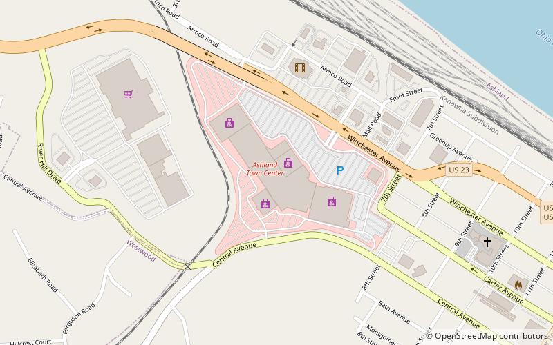
Nearby attractions include: Ashland Town Center, Paramount Arts Center, Highlands Museum and Discovery Center, Simeon Willis Memorial Bridge.


Frequently Asked Questions (FAQ)
Which popular attractions are close to Bath Avenue Historic District?
Nearby attractions include St. Paul's Lutheran Church, Ashland (3 min walk), Culbertson House, Ashland (6 min walk), First Presbyterian Church, Ashland (6 min walk), Highlands Museum and Discovery Center, Ashland (7 min walk).
How to get to Bath Avenue Historic District by public transport?
The nearest stations to Bath Avenue Historic District:
Train
Train
- Ashland (10 min walk)