Spaghetti Bowl, North Las Vegas
Map
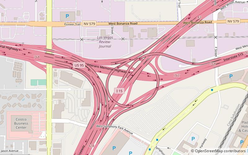
Map

Facts and practical information
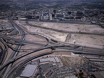
The Spaghetti Bowl is the colloquial name for a freeway interchange in downtown Las Vegas, Nevada. It is the system interchange between Interstate 15, Interstate 515, U.S. Route 93 and U.S. Route 95, which also includes a service interchange with Martin Luther King Boulevard. ()
Coordinates: 36°10'27"N, 115°9'20"W
Address
Rancho OakeyNorth Las Vegas
ContactAdd
Social media
Add
Day trips
Spaghetti Bowl – popular in the area (distance from the attraction)
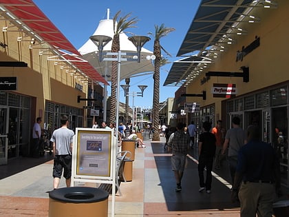
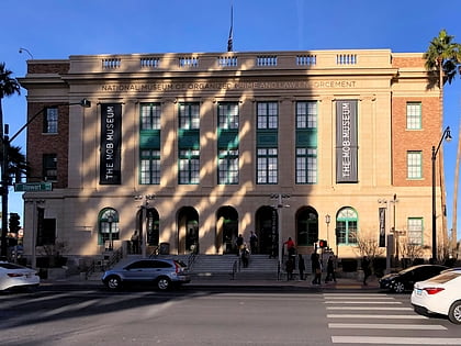
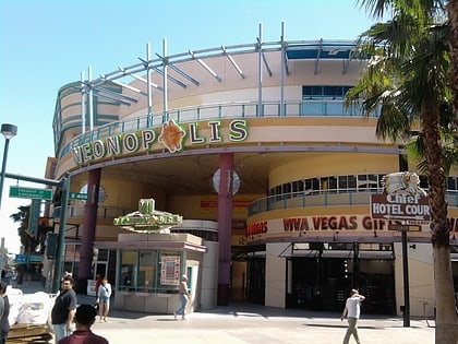
Nearby attractions include: Fremont Street Experience, Las Vegas Premium Outlets North, World Market Center, Mob Museum.
Frequently Asked Questions (FAQ)
Which popular attractions are close to Spaghetti Bowl?
Nearby attractions include World Market Center, Las Vegas (10 min walk), Discovery Children's Museum, Las Vegas (11 min walk), Smith Center for the Performing Arts, Las Vegas (11 min walk), La Bayou, Las Vegas (15 min walk).
How to get to Spaghetti Bowl by public transport?
The nearest stations to Spaghetti Bowl:
Bus
Bus
- Greyhound (14 min walk)
- Carson @ Casino Center Blvd. • Lines: Deuce (18 min walk)
