UCSF Library, San Francisco
Map
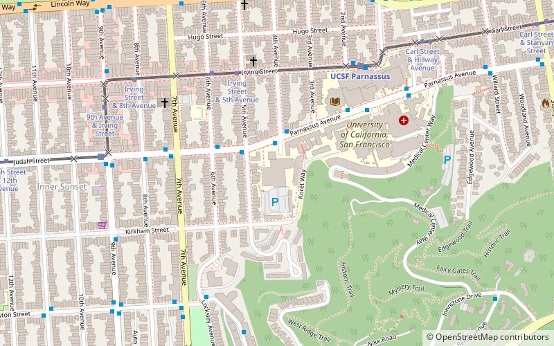
Map

Facts and practical information
The UCSF Library is the library of the University of California, San Francisco. It is one of the world's foremost libraries in the health sciences. ()
Coordinates: 37°45'42"N, 122°27'40"W
Address
707 Parnassus AvenueSouthwest San Francisco (Parnassus Heights)San Francisco
ContactAdd
Social media
Add
Day trips
UCSF Library – popular in the area (distance from the attraction)
Nearby attractions include: de Young Museum, California Academy of Sciences, Haight Street, Japanese Tea Garden.
Frequently Asked Questions (FAQ)
Which popular attractions are close to UCSF Library?
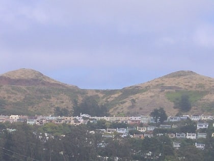
Nearby attractions include Mount Sutro, San Francisco (9 min walk), Forest Knolls, San Francisco (14 min walk), St. Anne of the Sunset, San Francisco (14 min walk), AIDS Memorial Grove, San Francisco (15 min walk).
How to get to UCSF Library by public transport?
The nearest stations to UCSF Library:
Bus
Light rail
Train
Trolleybus
Bus
- Parnassus Avenue & 4th Avenue • Lines: 43 (2 min walk)
- Judah Street & 6th Avenue • Lines: 43 (3 min walk)
Light rail
- Irving Street & 5th Avenue • Lines: N (5 min walk)
Train
- UCSF Parnassus (6 min walk)
- Carl Street & Cole Street (17 min walk)
Trolleybus
- Haight Street & Stanyan Street • Lines: 33 (18 min walk)
- Stanyan Street & Oak Street • Lines: 33 (19 min walk)

 Muni Metro


