Sandy Historic District
Map

Map

Facts and practical information
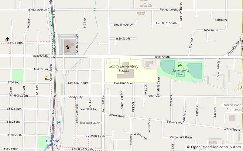
The Sandy Historic District is a Historic District in Sandy, Utah that covers most of the city's pre-suburbanization extent. It is essentially the area east of State Street, west of 700 East north of 9000 South, and south of Pioneer Avenue. About half of the National Register of Historic Places listings in Salt Lake County outside of Salt Lake City are in Sandy, and the large majority of those are within the Historic District. ()
Coordinates: 40°35'34"N, 111°52'51"W
Location
Utah
ContactAdd
Social media
Add
Day trips
Sandy Historic District – popular in the area (distance from the attraction)
Nearby attractions include: Rio Tinto Stadium, Classic Fun Center, Sandy, Sandy Second Ward Chapel.


