East Oak Lane, Philadelphia

Map
Facts and practical information
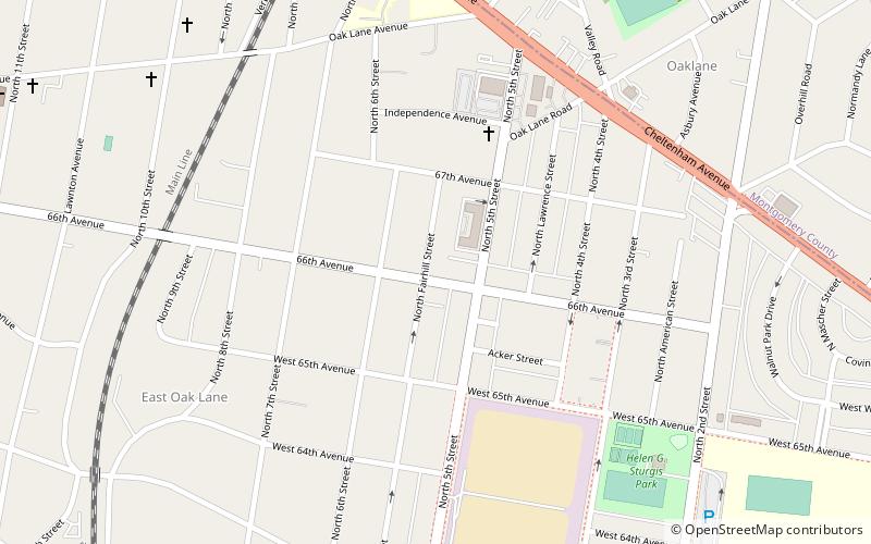
East Oak Lane is a neighborhood at the northern end of the North Philadelphia planning district of Philadelphia, Pennsylvania, United States. Many of the houses in the neighborhood are large single homes or twins built at a later period than much of central North Philadelphia. There is also a significant number of typical Philadelphia rowhouses. ()
Coordinates: 40°3'7"N, 75°7'41"W
Address
Upper North District (East Oak Lane)Philadelphia
ContactAdd
Social media
Add
Day trips
East Oak Lane – popular in the area (distance from the attraction)
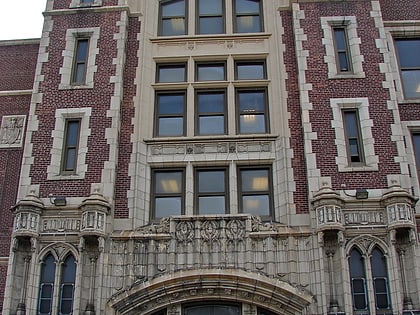
Nearby attractions include: Cheltenham Township, Old York Road, Adams Avenue Bridge, St. Jude Syro Malankara Catholic Church.
Frequently Asked Questions (FAQ)
Which popular attractions are close to East Oak Lane?
Nearby attractions include St. Jude Syro Malankara Catholic Church, Philadelphia (7 min walk), Upsala Mansion, Philadelphia (14 min walk), James Russell Lowell School, Philadelphia (21 min walk).
How to get to East Oak Lane by public transport?
The nearest stations to East Oak Lane:
Train
Metro
Bus
Train
- Melrose Park (14 min walk)
- Fern Rock Transportation Center (21 min walk)
Metro
- Fern Rock Transportation Center • Lines: Bsl (22 min walk)
- Olney Transportation Center • Lines: Bsl (33 min walk)
Bus
- Olney Transportation Center (32 min walk)
 SEPTA Regional Rail


