Trek Zone

Santa Ana Canyon, Yorba Linda
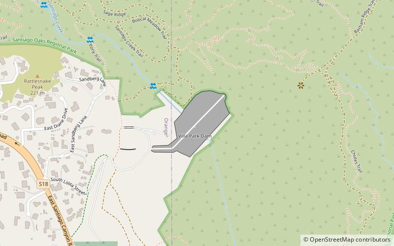
#5 among attractions in Yorba Linda

Valley
Santa Ana Canyon location map
Map

Facts and practical information
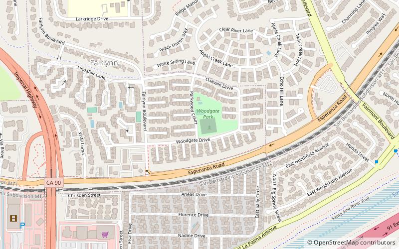
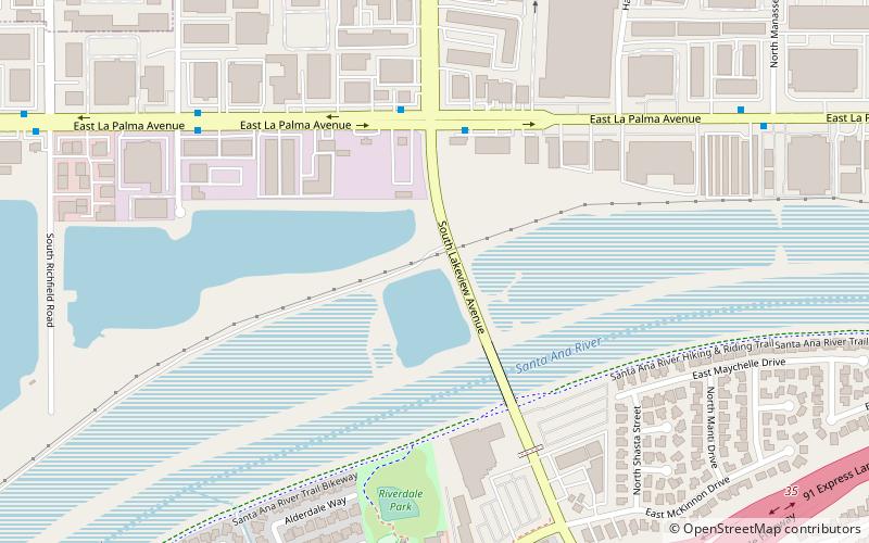
Coordinates: 33°51'25"N, 117°49'6"W
Address

The CanyonYorba Linda United States

ContactAdd
Social media
Add
Day trips

Santa Ana Canyon – popular in the area (distance from the attraction)

Nearby attractions include: Honda Center, Richard Nixon Presidential Library and Museum, Carbon Canyon Regional Park, Fullerton Arboretum.

  • honda center anaheim4.8 miSW
  • richard nixon presidential library and museum yorba linda2.2 miN
  • carbon canyon regional park brea4.4 miN
  • fullerton arboretum anaheim4.3 miNW
  • the village at orange location map
    2.4 miSW
  • birthplace of richard nixon yorba linda2.2 miN
  • villa park dam orange location map
    4.2 miSE
  • oak canyon nature center anaheim location map
    3.9 miE
  • town square anaheim4.1 miW
  • yorba cemetery yorba linda location map
    2 miE
  • california state university anaheim4.2 miNW

Where to next? Visit california California region page or discover the top tourist attractions in United States.