Newton Highlands Historic District, Newton
Map

Map

Facts and practical information
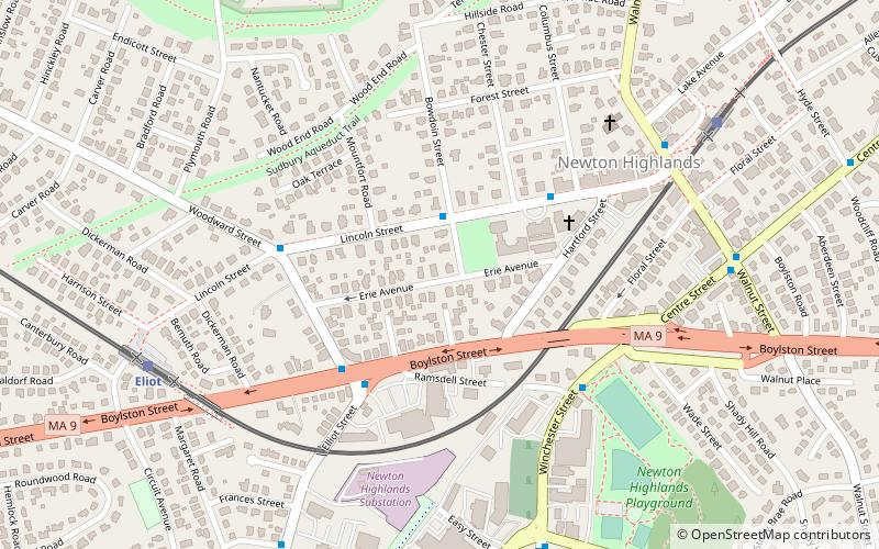
The Newton Highlands Historic District encompasses the historic heart of the village of Newton Highlands in Newton, Massachusetts. When it was added to the National Register of Historic Places in 1986, the district extended along Lincoln Street from Woodward to Hartford Streets, and included blocks of Bowdoin, Erie and Hartford Streets south of Lincoln Street. The district was enlarged in 1990 to include the cluster of commercial buildings on Lincoln Street between Hartford and Walnut Streets. ()
Coordinates: 42°19'13"N, 71°12'39"W
Address
Newton (Newton Highlands)Newton
ContactAdd
Social media
Add
Day trips
Newton Highlands Historic District – popular in the area (distance from the attraction)
Nearby attractions include: Brae Burn Country Club, Piccadilly Square, Hemlock Gorge Reservation, Echo Bridge.
Frequently Asked Questions (FAQ)
Which popular attractions are close to Newton Highlands Historic District?
Nearby attractions include South Burying Ground, Newton (6 min walk), Cochituate Aqueduct, Newton (12 min walk), Peabody-Williams House, Newton (13 min walk), Newton Highlands, Newton (15 min walk).
How to get to Newton Highlands Historic District by public transport?
The nearest stations to Newton Highlands Historic District:
Light rail
Bus
Light rail
- Eliot • Lines: D (8 min walk)
- Newton Highlands • Lines: D (9 min walk)
Bus
- 791 Walnut St • Lines: 59 (24 min walk)


