Bronx Community College, New York City
Map
Facts and practical information
The Bronx Community College of the City University of New York is a public community college in the Bronx, New York City. It is part of the City University of New York system. ()
Coordinates: 40°51'28"N, 73°54'46"W
Address
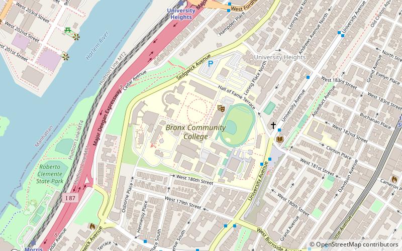
2155 University AvenueWest Bronx (University Heights)New York City
Contact
Social media
Add
Getting there by public transportation
Public transportation stops near this location
- Metro
- Bus
- Train
 Metro
Metro
- Calculate routeUniversity Heights 8 min walk
- Calculate routeMorris Heights 12 min walk
- Calculate routeTremont 26 min walk
- Calculate routeMarble Hill 30 min walk
- Calculate routeBurnside Avenue 11 min walk
- Calculate route183rd Street 12 min walk
- Calculate route207th Street 15 min walk
- Calculate route182nd–183rd Streets 17 min walk
- Calculate routeSedgewick Avenue & Harlem River Park Bridge 15 min walk
- Calculate routeWebster Avenue & East Fordham Road 29 min walk
- Calculate routeEast Fordham Road & 3rd Avenue 31 min walk
Maps SubwayMaps
 Manhattan Buses
SubwayMapsManhattan BusesDay trips


Frequently Asked Questions (FAQ)
Which popular attractions are close to Bronx Community College?
Nearby attractions include Hall of Fame for Great Americans, New York City (2 min walk), University Heights, New York City (6 min walk), University Heights Bridge, New York City (10 min walk), Roberto Clemente State Park, New York City (12 min walk).
How to get to Bronx Community College by public transport?
The nearest stations to Bronx Community College:
Train
Metro
Bus
Train
- University Heights (8 min walk)
- Morris Heights (12 min walk)
Metro
- Burnside Avenue • Lines: 4 (11 min walk)
- 183rd Street • Lines: 4 (12 min walk)
Bus
- Sedgewick Avenue & Harlem River Park Bridge • Lines: Bx18 (15 min walk)
- Webster Avenue & East Fordham Road • Lines: Bx41 (29 min walk)