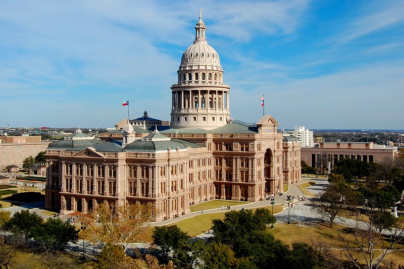
Texas State University System, Austin
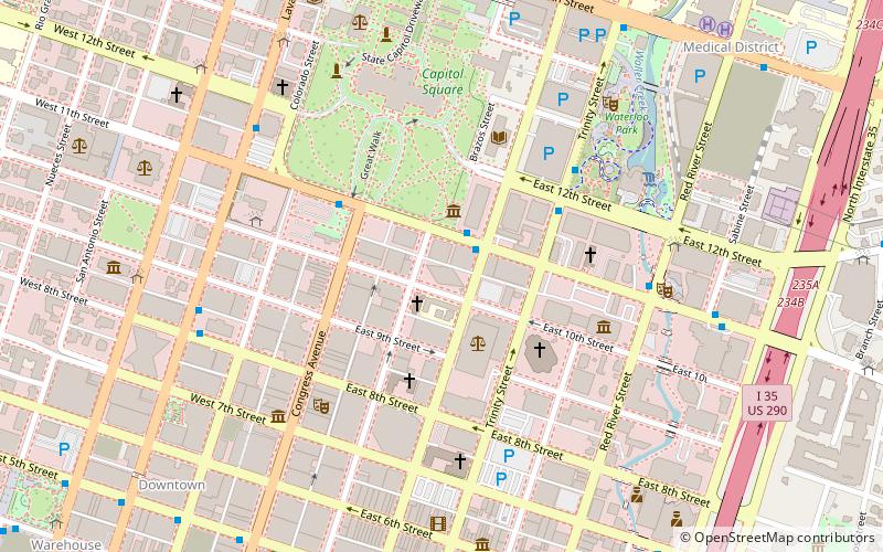
Map
Facts and practical information
The Texas State University System was created in 1911 to oversee the state's normal schools. Since its creation it has broadened its focus and comprises institutions of many different scopes. The other systems of state universities are the Texas A&M System, the Texas Tech System, the University of Houston System, the University of North Texas System, and the University of Texas System. ()
Address
Central Austin (Downtown Austin)Austin
ContactAdd
Social media
Add
Getting there by public transportation
Public transportation stops near this location
- Bus
- Train
 Bus
Bus
- Calculate routeMegabus 10 min walk
- Calculate route619 15th/Brackenridge 12 min walk
- Calculate routeMuseum 14 min walk
- Calculate route1800 Red River/18th 16 min walk
- Calculate routeDowntown 13 min walk
- Calculate routePlaza Saltillo 25 min walk
- Calculate routeAustin 27 min walk
Day trips


Frequently Asked Questions (FAQ)
Which popular attractions are close to Texas State University System?
Nearby attractions include Cathedral of Saint Mary, Austin (2 min walk), General Land Office Building, Austin (3 min walk), Millett Opera House, Austin (3 min walk), Tejano Monument, Austin (3 min walk).
How to get to Texas State University System by public transport?
The nearest stations to Texas State University System:
Bus
Train
Bus
- Megabus (10 min walk)
- 619 15th/Brackenridge • Lines: 670 (12 min walk)
Train
- Downtown (13 min walk)
- Plaza Saltillo (25 min walk)