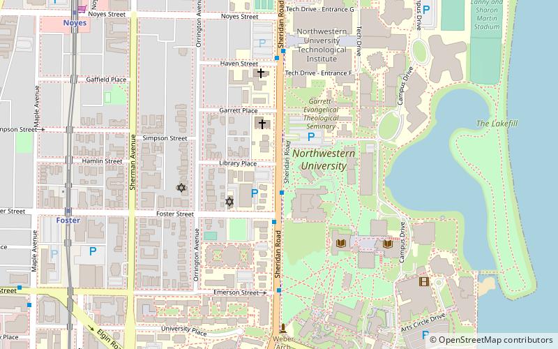
Sheridan Road, Evanston
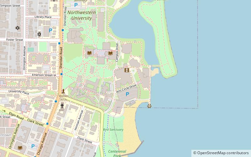
Map
Facts and practical information
Sheridan Road is a major north-south street that leads from Diversey Parkway in Chicago, Illinois, north to the Illinois-Wisconsin border and beyond to Racine. Throughout most of its run, it is the easternmost north-south through street, closest to Lake Michigan. From Chicago, it passes through Chicago's wealthy lakeside North Shore suburbs, and then Waukegan and Zion, until it reaches the Illinois-Wisconsin state line in Winthrop Harbor. In Wisconsin, the road leads north through Pleasant Prairie and Kenosha, until it ends on the south side of Racine, in Mount Pleasant. ()
Coordinates: 42°3'17"N, 87°40'38"W
Address
North Shore (Northeast Evanston)Evanston
ContactAdd
Social media
Add
Getting there by public transportation
Public transportation stops near this location
- Metro
- Bus
- Train
 Metro
Metro
- Calculate routeSheridan & Foster NB 1 min walk
- Calculate routeFoster 9 min walk
- Calculate routeNoyes 11 min walk
- Calculate routeDavis 15 min walk
- Calculate routeCentral 20 min walk
- Calculate routeEvanston Davis Street 16 min walk
- Calculate routeEvanston Central Street 32 min walk
Day trips


Frequently Asked Questions (FAQ)
Which popular attractions are close to Sheridan Road?
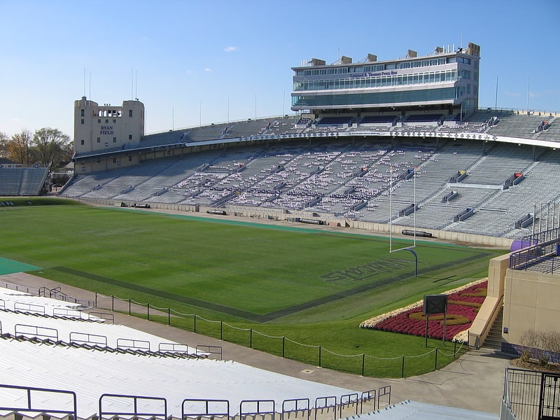
Nearby attractions include Garrett-Evangelical Theological Seminary, Evanston (4 min walk), Deering Library, Evanston (4 min walk), Northwestern University, Evanston (4 min walk), Shakespeare Garden, Evanston (5 min walk).
How to get to Sheridan Road by public transport?
The nearest stations to Sheridan Road:
Bus
Metro
Train
Bus
- Sheridan & Foster NB • Lines: 201 (1 min walk)
Metro
- Foster • Lines: Purple (9 min walk)
- Noyes • Lines: Purple (11 min walk)
Train
- Evanston Davis Street (16 min walk)
- Evanston Central Street (32 min walk)