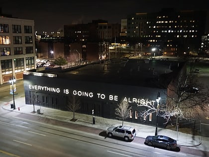
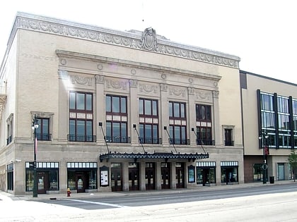
C-Pop, Detroit
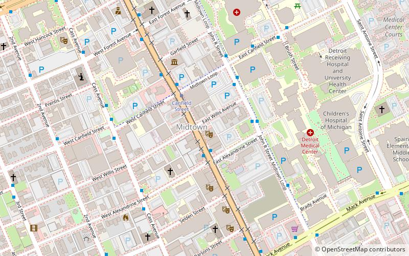
Map
Facts and practical information
C-Pop Gallery was a metro Detroit art gallery that operated from 1996 to 2009. ()
Coordinates: 42°21'6"N, 83°3'37"W
Address
Cass Corridor (Midtown)Detroit
ContactAdd
Social media
Add
Day trips
C-Pop – popular in the area (distance from the attraction)
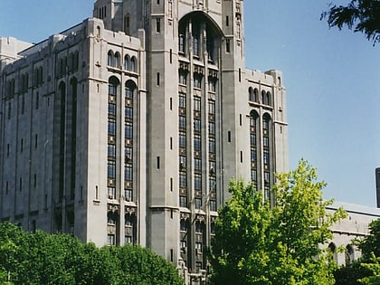
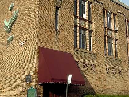
Nearby attractions include: Detroit Institute of Arts, Little Caesars Arena, Charles H. Wright Museum of African American History, Museum of Contemporary Art Detroit.
Frequently Asked Questions (FAQ)
Which popular attractions are close to C-Pop?
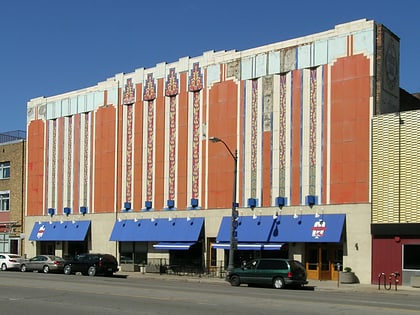
Nearby attractions include Majestic Theatre, Detroit (1 min walk), Midtown Detroit, Detroit (3 min walk), Museum of Contemporary Art Detroit, Detroit (4 min walk), Professional Plaza Tower, Detroit (5 min walk).
How to get to C-Pop by public transport?
The nearest stations to C-Pop:
Bus
Tram
Light rail
Train
Bus
- Woodward / Alexandrine • Lines: 04 (2 min walk)
- Cass / Canfield • Lines: 16 (6 min walk)
Tram
- Canfield Street • Lines: QLine (3 min walk)
- Mack Avenue • Lines: QLine (9 min walk)
Light rail
- Grand Circus Park • Lines: Dpm (31 min walk)
- Broadway • Lines: Dpm (33 min walk)
Train
- Detroit (33 min walk)


