WKRQ Tower, Cincinnati

Gallery (1)
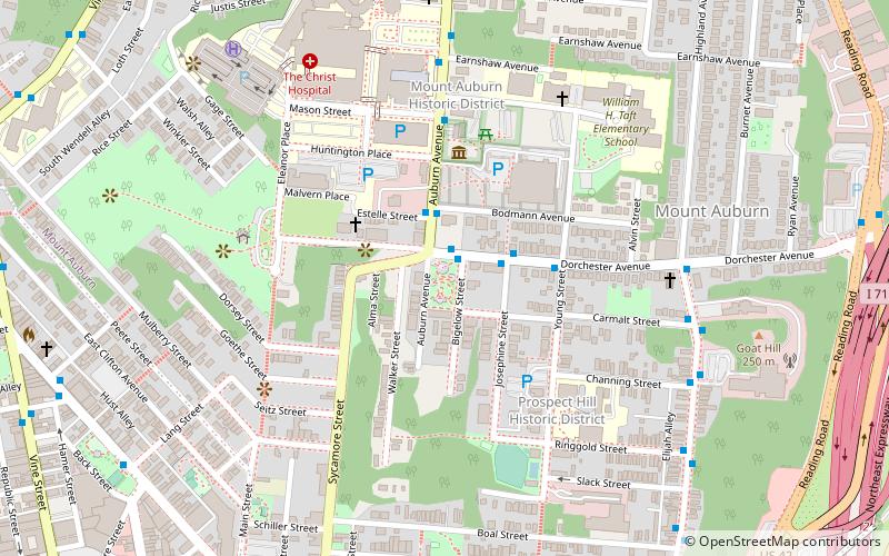
Map
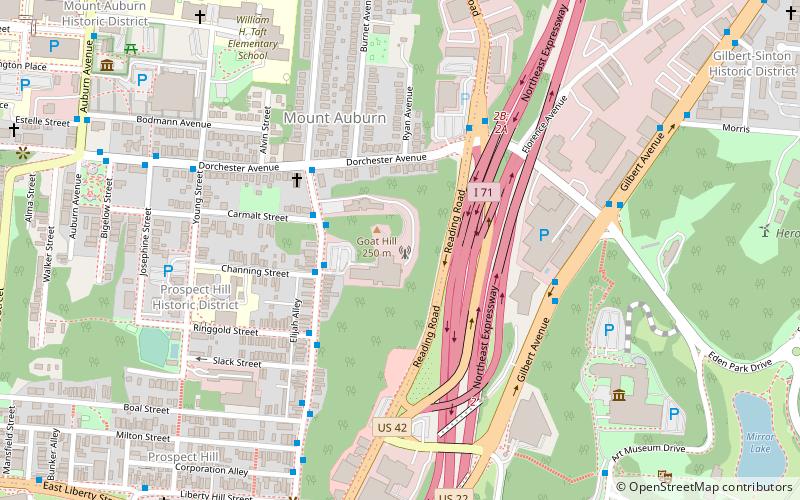
Map
Facts and practical information
The WKRQ Tower is a free-standing lattice tower with triangular cross section used by WKRQ and WKRC-TV as well as several other radio stations located in Cincinnati, Ohio. The tower was built in the early 1960s a period when numerous tall free standing steel lattice towers were being built across the United States including the WCPO TV Tower, the Turner Broadcasting Tower, the WHDH-TV Tower and the WITI TV Tower. The tower stands 294.6 m tall and WKRC's nickname in the 1960s was "Tall 12", a reference to the station's tower which is the tallest in Cincinnati. ()
Coordinates: 39°6'59"N, 84°30'7"W
Address
Mount AuburnCincinnati
ContactAdd
Social media
Add
Getting there by public transportation
Public transportation stops near this location
- Bus
- Tram
 Bus
Bus
- Calculate routeHighland Ave & Channing St 3 min walk
- Calculate routeHanke Exchange 20 min walk
- Calculate routeJACK Casino 21 min walk
- Calculate routeLiberty & Race 23 min walk
- Calculate route12th & Vine 23 min walk
Day trips


Frequently Asked Questions (FAQ)
Which popular attractions are close to WKRQ Tower?
Nearby attractions include Deer Creek Tunnel, Cincinnati (5 min walk), Elsinore Arch, Cincinnati (7 min walk), Cincinnati Art Museum, Cincinnati (7 min walk), George Hunt Pendleton House, Cincinnati (9 min walk).
How to get to WKRQ Tower by public transport?
The nearest stations to WKRQ Tower:
Bus
Tram
Bus
- Highland Ave & Channing St • Lines: 19, 24 (3 min walk)
Tram
- Hanke Exchange • Lines: 100 (20 min walk)
- JACK Casino • Lines: 100 (21 min walk)