Knight Park–Howell Station, Atlanta

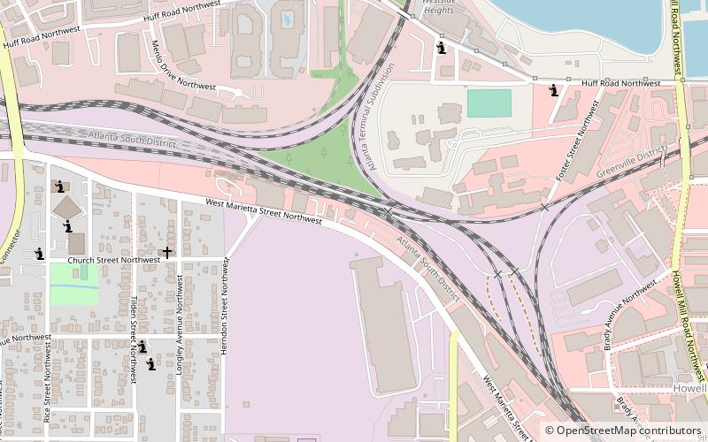
Map
Facts and practical information
Knight Park–Howell Station, also known as Howell Station Historic District, is a National historic district and neighborhood in, Atlanta, Georgia. Almost all buildings in the area were destroyed in the American Civil War, in Sherman's March to the Sea, and all of the buildings in the district were built after 1864. The neighborhood was listed on the National Register of Historic Places in 1997. ()
Coordinates: 33°47'6"N, 84°25'11"W
Address
Northwest Atlanta (Knight Park - Howell Station)Atlanta
ContactAdd
Social media
Add
Day trips
Knight Park–Howell Station – popular in the area (distance from the attraction)
Nearby attractions include: Atlantic Station, Millennium Gate Museum, Al-Farooq Masjid of Atlanta, Robert C. Williams Paper Museum.
Frequently Asked Questions (FAQ)
Which popular attractions are close to Knight Park–Howell Station?
Nearby attractions include The Goat Farm, Atlanta (6 min walk), Howell Interlocking Historic District, Atlanta (6 min walk), King Plow Arts Center, Atlanta (7 min walk), Blandtown, Atlanta (9 min walk).
How to get to Knight Park–Howell Station by public transport?
The nearest stations to Knight Park–Howell Station:
Metro
Metro
- Bankhead • Lines: Green (27 min walk)


