Chestnut Cabaret, Philadelphia
Map
Facts and practical information
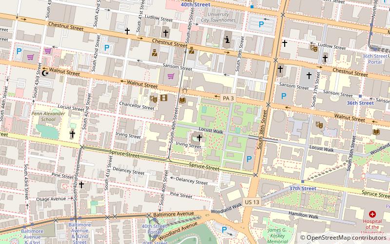
Chestnut Cabaret was a nightclub located at 38th & Ludlow Streets in Philadelphia, Pennsylvania. It was later named the Blockley before its closure in 2013. ()
Coordinates: 39°57'11"N, 75°12'7"W
Address
West Philadelphia (University City)Philadelphia
ContactAdd
Social media
Add
Getting there by public transportation
Public transportation stops near this location
- Metro
- Bus
- Tram
- Train
 Metro
Metro
- Calculate route40th Street Portal 7 min walk
- Calculate route37th Street 8 min walk
- Calculate route40th Street & Filbert Street 9 min walk
- Calculate route40th Street 8 min walk
- Calculate route34th Street 15 min walk
- Calculate route46th Street 20 min walk
- Calculate route30th Street 25 min walk
- Calculate routeMarket St & 39th St 8 min walk
- Calculate routeMegabus 25 min walk
- Calculate routeBolt Bus 25 min walk
- Calculate routePenn Medicine 19 min walk
- Calculate route49th Street 26 min walk
- Calculate routePhiladelphia 30th Street Station 28 min walk
Maps SEPTA Regional Rail
SEPTA Regional RailDay trips


Frequently Asked Questions (FAQ)
Which popular attractions are close to Chestnut Cabaret?
Nearby attractions include Saint Mary's Church, Philadelphia (1 min walk), The Rotunda, Philadelphia (3 min walk), University Family Fun Center, Philadelphia (4 min walk), Drexel Development Historic District, Philadelphia (4 min walk).
How to get to Chestnut Cabaret by public transport?
The nearest stations to Chestnut Cabaret:
Tram
Metro
Bus
Train
Tram
- 40th Street Portal • Lines: 11, 13, 34, 36 (7 min walk)
- 37th Street • Lines: 11, 13, 34, 36 (8 min walk)
Metro
- 40th Street • Lines: Mfl (8 min walk)
- 34th Street • Lines: Mfl (15 min walk)
Bus
- Market St & 39th St • Lines: 40 (8 min walk)
- Megabus (25 min walk)
Train
- Penn Medicine (19 min walk)
- 49th Street (26 min walk)