South Uptown, Minneapolis

Map
Facts and practical information
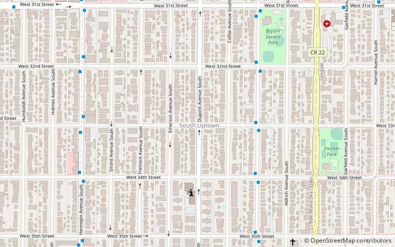
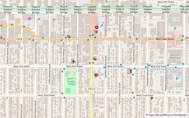
South Uptown is a residential neighborhood of Minneapolis, Minnesota. In 2018, the neighborhood voted to change its name to South Uptown from its former name CARAG. Other potential names for the neighborhood included "Bryant Park" and "Bryant Square". The Minneapolis City Council approved the name change in November 2018. ()
Area: 0.37 mi²Coordinates: 44°56'35"N, 93°17'36"W
Day trips
South Uptown – popular in the area (distance from the attraction)
Nearby attractions include: Lyndale Park, Lake Calhoun, Seven Points, Lake of the Isles.
Frequently Asked Questions (FAQ)
Which popular attractions are close to South Uptown?
Nearby attractions include HUGE Improv Theater, Minneapolis (10 min walk), Lyn-Lake, Minneapolis (11 min walk), Minnesota Zen Meditation Center, Minneapolis (13 min walk), Walker Library, Minneapolis (14 min walk).
How to get to South Uptown by public transport?
The nearest stations to South Uptown:
Bus
Bus
- 33 St W • Lines: 4, 4A, 4B, 4G, 4L, 4P (4 min walk)
- 34 St W • Lines: 4A, 4L, 4P (5 min walk)


