Morson's Row, Richmond
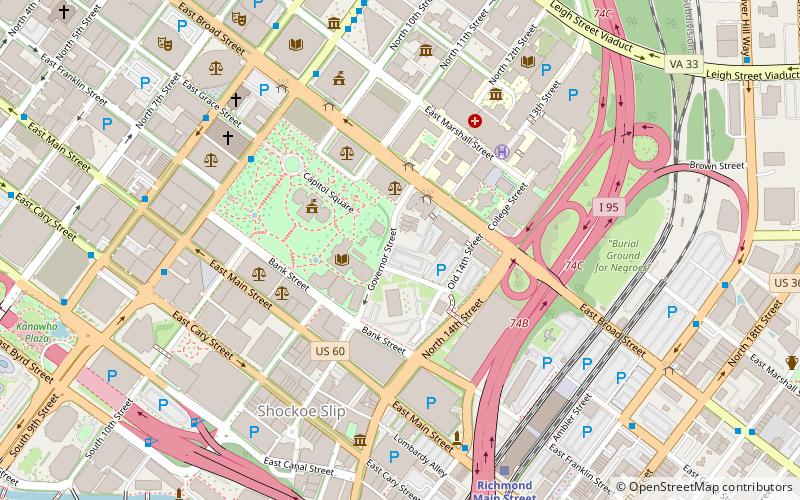
Map

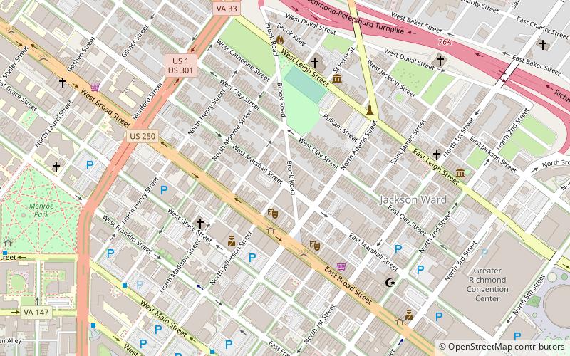
Map

Facts and practical information
Morson's Row, also known as James Morson's Row, is a set of three historic rowhouses located in Richmond, Virginia. They were built in 1853, and are three-story, three bay brick structures with flat roofs. They feature Italianate style heavy bracketed cornices, arched door enframements, and elaborately molded consoled lintel over the windows. The distinctive feature of the row is the off-center, two-bay bow on each house. ()
Coordinates: 37°32'17"N, 77°25'54"W
Address
Downtown Richmond (Capitol District)Richmond
ContactAdd
Social media
Add
Day trips
Morson's Row – popular in the area (distance from the attraction)
Nearby attractions include: Virginia State Capitol, Richmond Coliseum, Virginia Washington Monument, White House of the Confederacy.
Frequently Asked Questions (FAQ)
Which popular attractions are close to Morson's Row?
Nearby attractions include Executive Mansion, Richmond (1 min walk), First Baptist Church, Richmond (3 min walk), Monumental Church, Richmond (3 min walk), Virginia Civil Rights Memorial, Richmond (4 min walk).
How to get to Morson's Row by public transport?
The nearest stations to Morson's Row:
Bus
Train
Bus
- A • Lines: 1A, 1C (7 min walk)
- B • Lines: 1A, 1C (8 min walk)
Train
- Richmond Main Street (8 min walk)


